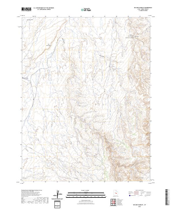
2023 Map of Sid And Charley
USGS Topo · Published 2023About this map
Sid and Charley, a distinctive pair of rock formations, anchors this topographical survey of the high desert terrain in Emery County. The landscape is defined by its complex drainage systems and abrupt elevation changes, with Eagle Canyon cutting deeply through the central portion of the quadrangle. To the north, the sharp relief of The Red Ledges provides a stark contrast to the surrounding canyon floors, while the southern reaches are dominated by the broad expanse of Secret Mesa.
Find a feature on this map
11 named features on this map. Tap any name to fly to it.
Don’t see what you’re looking for? This feature index may not catch every label — zoom into the map to look around manually.
Map Details
Editions of this 2023 Sid And Charley Map
This is the sole edition of this map. No revisions or reprints were ever made.
Other maps of this area

1885 · San Rafael
USGS Topo · 1:250,000

1885 · Manti
USGS Topo · 1:250,000

1885 · Fish Lake
USGS Topo · 1:250,000

1886 · Price River
USGS Topo · 1:250,000

1895 · Manti
USGS Topo · 1:250,000

1896 · Price River
USGS Topo · 1:250,000

1896 · Fish Lake
USGS Topo · 1:250,000

1923 · Castle Dale
USGS Topo · 1:62,500

1925 · Castle Dale
USGS Topo · 1:62,500

1952 · San Rafael Knob
USGS Topo · 1:62,500