1982 Map of Sidell
USGS Topo · Published 1983About this map
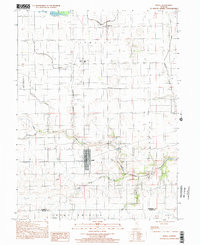
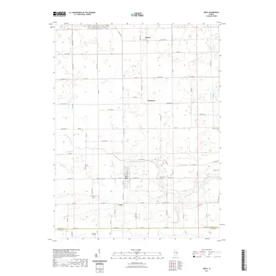
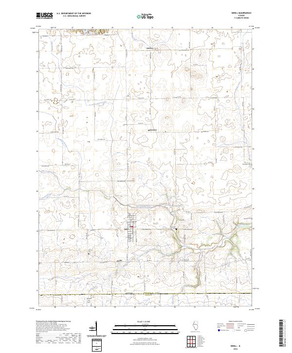
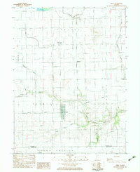
Sidell and its surroundings in southern Vermilion County reflect a landscape defined by the winding course of the Little Vermilion River and the grid of the Missouri Pacific railroad. The village center of Sidell shows a concentrated street grid, while smaller communities like Jamaica and Maizetown are positioned along the rail lines that once anchored the local economy. Educational history is centered at Jamaica High Sch to the north, while the rural character is punctuated by family and community landmarks such as Stunkard Cem and Fairview Cem. A north-south corridor of industry and aviation is suggested by the presence of a Quarry and the Maddox Landing Strip, showing how this agricultural region balanced local industry with traditional farm life during the early 1980s.
Find a feature on this map
23 named features on this map. Tap any name to fly to it.
Don’t see what you’re looking for? This feature index may not catch every label — zoom into the map to look around manually.
Map Details
Editions of this 1982 Sidell Map
This is the sole edition of this map. No revisions or reprints were ever made.
Historical Maps of Sidell Through Time
7 maps found