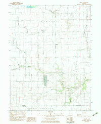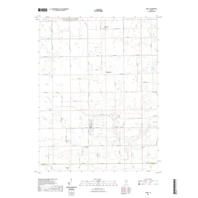
1998 Map of Sidell
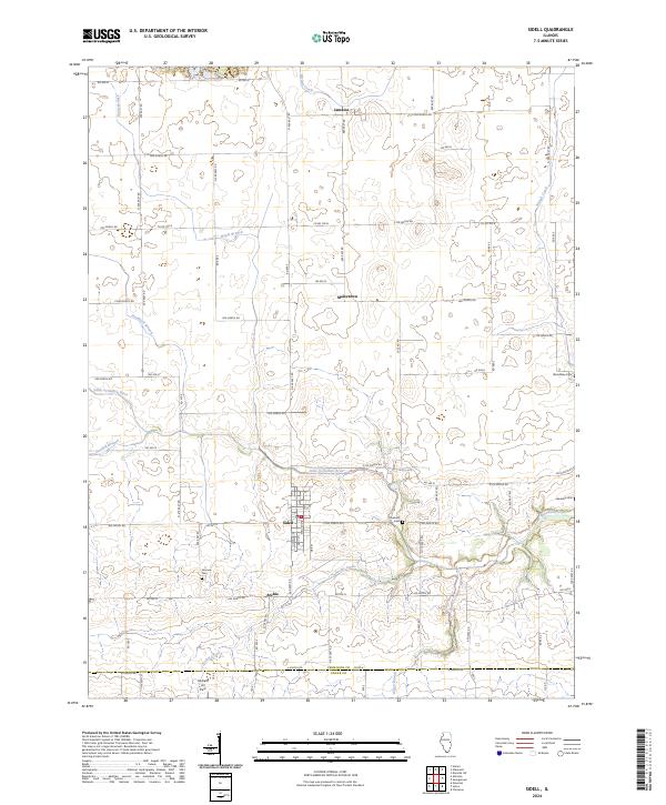
USGS Topo · Published 2002About this map
Sidell serves as the primary hub in this late 20th-century landscape, positioned where the grid of rural Vermilion County meets the Little Vermilion River. The area is characterized by scattered agriculture-adjacent settlements like Jamaica, Maizetown, and Archie, reflecting the enduring rural character of the Illinois prairie. Educational and community anchors such as Jamaica High Sch and several local burial grounds, including Fairview Cem and Stunkard Cem, provide essential data points for family historians tracing residents in the Sidell and Jamaica townships.
Find a feature on this map
24 named features on this map. Tap any name to fly to it.
Don’t see what you’re looking for? This feature index may not catch every label — zoom into the map to look around manually.
Map Details
Editions of this 1998 Sidell Map
This is the sole edition of this map. No revisions or reprints were ever made.
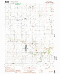
Historical Maps of Sidell Through Time
7 maps found