
1899 Map of Sidney
USGS Topo · Published 1899About this map
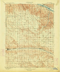
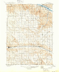
The Union Pacific R.R. dictates the rhythm of the southern plains in this late 19th-century survey, linking the growing hub of Sidney to eastern settlements like Colton and Lodgepole. This corridor follows the natural valley of Lodgepole Creek, a critical lifeline for both transportation and agriculture in this corner of Nebraska. To the north, the terrain transitions into the rugged breaks leading toward the North Platte River, where the landscape is marked by prominent landmarks like Courthouse Rock and Lookout Mound.
Find a feature on this map
30 named features on this map. Tap any name to fly to it.
Don’t see what you’re looking for? This feature index may not catch every label — zoom into the map to look around manually.
Map Details
Editions of this 1899 Sidney Map
3 editions found
Other maps of this area

1896 · Browns Creek
USGS Topo · 1:125,000

1898 · Camp Clarke
USGS Topo · 1:125,000

1899 · Browns Creek
USGS Topo · 1:125,000

1900 · Chappell
USGS Topo · 1:125,000

1950 · Crescent Lake
USGS Topo · 1:62,500

1953 · Peetz
USGS Topo · 1:24,000

1953 · Ovid
USGS Topo · 1:24,000

1953 · Twin Buttes
USGS Topo · 1:24,000

1953 · Haystack Butte
USGS Topo · 1:24,000

1953 · Julesburg Reservoir
USGS Topo · 1:24,000