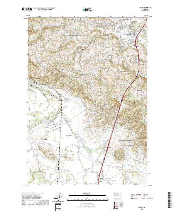
2023 Map of Sidney
USGS Topo · Published 2023About this map
Ankeny National Wildlife Refuge dominates the landscape of southern Marion County, preserving a complex system of wetlands and bottomlands where the Willamette River and Santiam River converge. This survey details a transition from the rolling terrain of the Salem Hills and Jackson Hill down to the fertile American Bottom. The presence of the Sidney Power Ditch and Sidney Irrigation Ditch Trl near the settlement of Sidney reflects the long-standing water management required for the region's agricultural productivity.
Find a feature on this map
106 named features on this map. Tap any name to fly to it.
Don’t see what you’re looking for? This feature index may not catch every label — zoom into the map to look around manually.
Map Details
Editions of this 2023 Sidney Map
This is the sole edition of this map. No revisions or reprints were ever made.
Other maps of this area

1912 · Jefferson
USGS Topo · 1:31,680

1913 · Wells
USGS Topo · 1:31,680

1914 · Independence
USGS Topo · 1:31,680

1915 · Rickreall
USGS Topo · 1:31,680

1915 · Eola
USGS Topo · 1:31,680

1915 · Sidney
USGS Topo · 1:31,680

1916 · Albany
USGS Topo · 1:62,500

1917 · Salem
USGS Topo · 1:62,500

1921 · Lebanon
USGS Topo · 1:62,500

1922 · Lebanon
USGS Topo · 1:48,000