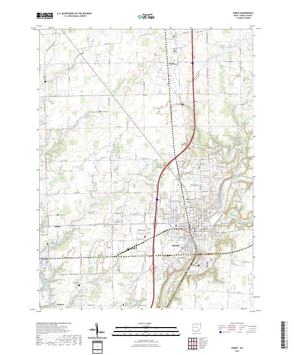
2023 Map of Sidney
USGS Topo · Published 2023About this map
The city of Sidney serves as the focal point of this Shelby County survey, situated along the winding course of the Great Miami River. The downtown core is anchored by the Shelby County Courthouse, surrounded by an established grid that includes Graceland Cem and the waters of Tawawa Lake. Outside the municipal center, the landscape is defined by agricultural lands and smaller outlying settlements such as Hardin, Swanders, and Newbern. These areas are connected by a network of drainage features like Kiser Ditch and Turtle Creek. For genealogists, the map is particularly useful for locating numerous burial sites scattered across the townships, including Old Saint James Cem, Pearl Cem, and McClure Cem. The industrial and transportation infrastructure is well-represented, showing the CSX rail corridor and the modern interstate cutting north-south through the county.
Find a feature on this map
86 named features on this map. Tap any name to fly to it.
Don’t see what you’re looking for? This feature index may not catch every label — zoom into the map to look around manually.
Map Details
Editions of this 2023 Sidney Map
This is the sole edition of this map. No revisions or reprints were ever made.
Other maps of this area

1909 · Loramie
USGS Topo · 1:62,500

1911 · Loramie
USGS Topo · 1:62,500

1911 · Covington
USGS Topo · 1:62,500

1913 · Sidney
USGS Topo · 1:62,500

1914 · Troy
USGS Topo · 1:62,500

1944 · Covington
USGS Topo · 1:62,500

1944 · Sidney
USGS Topo · 1:62,500

1944 · Loramie
USGS Topo · 1:62,500

1944 · Troy
USGS Topo · 1:62,500

1953 · Muncie
USGS Topo · 1:250,000