
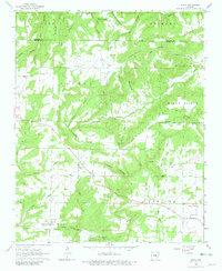
1963 Map of Sidon
USGS Topo · Published 1964About this map
Sidon and the surrounding township of Cadron sit at the transition between the agricultural lowlands and the rising elevations of the Ozark foothills. In the early 1960s, this portion of White County remained a landscape of dispersed rural settlements, connected by a network of winding roads through Newton Hollow and along the ridges of Mount Pisgah. The community structure is anchored by several country churches, including Mt Hebron Ch and Sweet Springs Ch, often positioned near family-named cemeteries like Sidon Cem.
Find a feature on this map
53 named features on this map. Tap any name to fly to it.
Don’t see what you’re looking for? This feature index may not catch every label — zoom into the map to look around manually.
Map Details
Editions of this 1963 Sidon Map
2 editions found
Other maps of this area

1953 · Memphis
USGS Topo · 1:250,000

1956 · Memphis
USGS Topo · 1:250,000

1956 · Russellville
USGS Topo · 1:250,000

1962 · Pangburn
USGS Topo · 1:24,000

1962 · Letona
USGS Topo · 1:24,000

1963 · Rose Bud
USGS Topo · 1:24,000

1963 · Garner
USGS Topo · 1:24,000

1963 · Floyd
USGS Topo · 1:24,000

1963 · West Pangburn
USGS Topo · 1:24,000

1963 · Mount Vernon
USGS Topo · 1:24,000