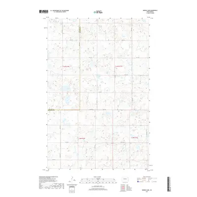
2017 Map of Siebold Lake
USGS Topo · Published 2017About this map
Siebold Lake and England Lake anchor this agricultural landscape in the prairie pothole region of North Dakota during the late 2010s. The terrain is characterized by a high density of small wetlands and depressions typical of the Missouri Coteau, where the boundary between McLean and Sheridan Counties runs north-to-south along Center Ave N. A rigid section-line road network, including routes like Co Hwy 6N and 22nd St NE, reflects the enduring legacy of the Public Land Survey System in organizing the rural interior. The map reveals the interplay between modern transportation and the natural hydrology of the plains, where small, unnamed water bodies dot nearly every square mile of the surrounding townships.
Find a feature on this map
23 named features on this map. Tap any name to fly to it.
Don’t see what you’re looking for? This feature index may not catch every label — zoom into the map to look around manually.
Map Details
Editions of this 2017 Siebold Lake Map
This is the sole edition of this map. No revisions or reprints were ever made.
Other maps of this area

1929 · Balfour
USGS Topo · 1:62,500

1930 · Drake
USGS Topo · 1:62,500

1945 · Pelican Lake
USGS Topo · 1:62,500

1947 · Pelican Lake
USGS Topo · 1:62,500

1947 · Lincoln Valley
USGS Topo · 1:62,500

1954 · McClusky
USGS Topo · 1:250,000

1958 · McClusky
USGS Topo · 1:250,000

1958 · Butte
USGS Topo · 1:24,000

1958 · Drake
USGS Topo · 1:62,500

1958 · Balfour
USGS Topo · 1:62,500