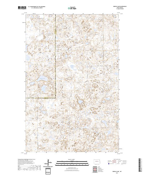
2024 Map of Siebold Lake
USGS Topo · Published 2024About this map
The prairie pothole landscape along the McLean Co Sheridan Co border is defined by a dense network of wetlands and conservation lands. Large water bodies such as Siebold Lake and England Lake anchor the region, surrounded by protected wildlife habitats including the Sheridan County Waterfowl Production Area and the McLean County Waterfowl Production Area. This terrain reflects the characteristic glacial topography of North Dakota, where dozens of unnamed small ponds and depressions dot the sections between the gridded county roads. The transport network follows the Public Land Survey System strictly, with routes like Co Hwy 6N and Center Ave N marking the boundaries between townships and counties in this sparsely populated agricultural and conservation-focused region.
Find a feature on this map
27 named features on this map. Tap any name to fly to it.
Don’t see what you’re looking for? This feature index may not catch every label — zoom into the map to look around manually.
Map Details
Editions of this 2024 Siebold Lake Map
This is the sole edition of this map. No revisions or reprints were ever made.
Other maps of this area

1929 · Balfour
USGS Topo · 1:62,500

1930 · Drake
USGS Topo · 1:62,500

1945 · Pelican Lake
USGS Topo · 1:62,500

1947 · Pelican Lake
USGS Topo · 1:62,500

1947 · Lincoln Valley
USGS Topo · 1:62,500

1954 · McClusky
USGS Topo · 1:250,000

1958 · McClusky
USGS Topo · 1:250,000

1958 · Butte
USGS Topo · 1:24,000

1958 · Drake
USGS Topo · 1:62,500

1958 · Balfour
USGS Topo · 1:62,500