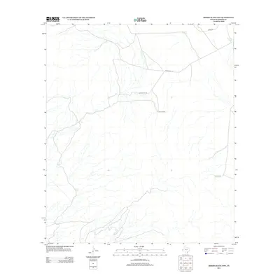
2013 Map of Sierra Blanca SW
USGS Topo · Published 2013About this map
Tammin Ranch and the surrounding Hudspeth County landscape in this 2013 survey reflect the critical importance of water management in the arid West Texas terrain. The map documents a network of isolated water sources such as Davis Pond, Sevenmile Tank, and Fivemile Tank, which are essential for livestock and local land use. These features, along with West Windmill, illustrate the persistent infrastructure required to support life and ranching in this sparsely populated region.
Find a feature on this map
8 named features on this map. Tap any name to fly to it.
Don’t see what you’re looking for? This feature index may not catch every label — zoom into the map to look around manually.
Map Details
Editions of this 2013 Sierra Blanca SW Map
This is the sole edition of this map. No revisions or reprints were ever made.
Other maps of this area

1894 · Fort Hancock
USGS Topo · 1:125,000

1895 · Sierra Blanca
USGS Topo · 1:125,000

1897 · Eagle Mountain
USGS Topo · 1:125,000

1916 · Eagle Mountain
USGS Topo · 1:125,000

1943 · Fort Quitman
USGS Topo · 1:62,500

1954 · Van Horn
USGS Topo · 1:250,000

1958 · Van Horn
USGS Topo · 1:250,000

1959 · Marfa
USGS Topo · 1:250,000

1964 · Devil Ridge
USGS Topo · 1:24,000

1964 · Lasca
USGS Topo · 1:24,000