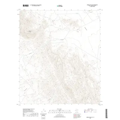
2019 Map of Sierra Blanca SW
USGS Topo · Published 2019About this map
The Quitman Mountains dominate this high-desert landscape of Hudspeth County, where complex topographic contours reveal a network of canyons and drainage systems characteristic of the Trans-Pecos region. In an area where water is the primary driver of the historical ranching economy, the map documents critical catchment points such as Sevenmile Tank, Fivemile Tank, and Davis Pond. These localized water sources supported livestock and travelers long before the advent of modern infrastructure.
Find a feature on this map
9 named features on this map. Tap any name to fly to it.
Don’t see what you’re looking for? This feature index may not catch every label — zoom into the map to look around manually.
Map Details
Editions of this 2019 Sierra Blanca SW Map
This is the sole edition of this map. No revisions or reprints were ever made.
Other maps of this area

1894 · Fort Hancock
USGS Topo · 1:125,000

1895 · Sierra Blanca
USGS Topo · 1:125,000

1897 · Eagle Mountain
USGS Topo · 1:125,000

1916 · Eagle Mountain
USGS Topo · 1:125,000

1943 · Fort Quitman
USGS Topo · 1:62,500

1954 · Van Horn
USGS Topo · 1:250,000

1958 · Van Horn
USGS Topo · 1:250,000

1959 · Marfa
USGS Topo · 1:250,000

1964 · Devil Ridge
USGS Topo · 1:24,000

1964 · Lasca
USGS Topo · 1:24,000