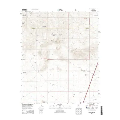
2013 Map of Sierra Fijardo
USGS Topo · Published 2013About this map
Cibola National Forest encompasses much of this high-altitude landscape along the border of Socorro and Sierra Counties. The terrain is defined by a series of dramatic ridges and drainages, including Lighting Ridge and the prominent Peñasco Peak. Evidence of local ranching and water management is scattered across the topography, found in named catchments like Moreus Tank and Ducknest Tank, alongside the H Bierner Number 2 Reservoir to the south. The human footprint in this part of New Mexico is sparse, centered on the Flying X Ranch and the settlement at Sierra Fijardo. Transportation is limited to rugged routes such as Forest Road 139 and CO Road 3A, which navigate the complex network of canyons like Carbon Canyon and Aragon Draw.
Find a feature on this map
38 named features on this map. Tap any name to fly to it.
Don’t see what you’re looking for? This feature index may not catch every label — zoom into the map to look around manually.
Map Details
Editions of this 2013 Sierra Fijardo Map
This is the sole edition of this map. No revisions or reprints were ever made.
Other maps of this area

1954 · Tularosa
USGS Topo · 1:250,000

1958 · Tularosa
USGS Topo · 1:250,000

1961 · Priest Tank
USGS Topo · 1:24,000

1961 · Huerfano Hill
USGS Topo · 1:24,000

1961 · Sierra Fijardo
USGS Topo · 1:24,000

1961 · Black Bluffs
USGS Topo · 1:24,000

1961 · Black Hill
USGS Topo · 1:24,000

1961 · Monticello
USGS Topo · 1:24,000

1961 · Romero Canyon
USGS Topo · 1:24,000

1964 · Vicks Peak
USGS Topo · 1:24,000