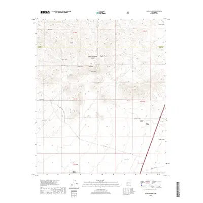
2020 Map of Sierra Fijardo
USGS Topo · Published 2020About this map
Cibola National Forest land dominates this high-elevation landscape, where the Socorro and Sierra county lines meet amidst a network of deep drainage systems. The terrain is defined by prominent elevations such as Peñasco Peak and Sierra Fijardo, alongside named ridges like Lighting Ridge and Eagles Roost. Water management is central to the area's utility, evidenced by the distribution of catchment features including Ducknest Tank, Marcus Tank, and the H Bierner Number 2 Reservoir.
Find a feature on this map
37 named features on this map. Tap any name to fly to it.
Don’t see what you’re looking for? This feature index may not catch every label — zoom into the map to look around manually.
Map Details
Editions of this 2020 Sierra Fijardo Map
This is the sole edition of this map. No revisions or reprints were ever made.
Other maps of this area

1954 · Tularosa
USGS Topo · 1:250,000

1958 · Tularosa
USGS Topo · 1:250,000

1961 · Priest Tank
USGS Topo · 1:24,000

1961 · Huerfano Hill
USGS Topo · 1:24,000

1961 · Sierra Fijardo
USGS Topo · 1:24,000

1961 · Black Bluffs
USGS Topo · 1:24,000

1961 · Black Hill
USGS Topo · 1:24,000

1961 · Monticello
USGS Topo · 1:24,000

1961 · Romero Canyon
USGS Topo · 1:24,000

1964 · Vicks Peak
USGS Topo · 1:24,000