
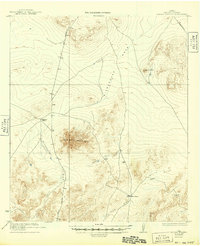
1923 Map of Sierra Madera
USGS Topo · Published 1923About this map
Sierra Madera dominates this portion of Pecos County, rising as a distinct geological uplift within an expanse of high desert terrain. Surveyed in cooperation with The University of Texas, the landscape is defined by its drainage patterns and isolated ranching operations during the early 1920s. Human activity is sparse, centered on the Elsinore Ranch and Tulley Ranch, reflecting the region's historical reliance on large-scale pastoral holdings.
Find a feature on this map
11 named features on this map. Tap any name to fly to it.
Don’t see what you’re looking for? This feature index may not catch every label — zoom into the map to look around manually.
Map Details
Editions of this 1923 Sierra Madera Map
2 editions found
Other maps of this area

1920 · Longfellow
USGS Topo · 1:125,000

1921 · Fort Stockton
USGS Topo · 1:62,500

1923 · Fort Stockton
USGS Topo · 1:62,500

1923 · Hess Canyon
USGS Topo · 1:62,500

1928 · Comanche Spring
USGS Topo · 1:125,000

1929 · Hovey
USGS Topo · 1:125,000

1954 · Fort Stockton
USGS Topo · 1:250,000

1958 · Fort Stockton
USGS Topo · 1:250,000

1968 · Marathon Gap
USGS Topo · 1:24,000

1968 · Ebers Camp
USGS Topo · 1:24,000