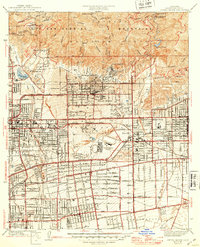
1941 Map of Sierra Madre
USGS Topo · Published 1947About this map
The San Gabriel Mountains tower over the burgeoning suburbs of the San Gabriel Valley during the early 1940s. This period captures the region as it transitioned from an agricultural and ranching landscape to a dense network of residential streets. The iconic Santa Anita Park racetrack occupies a central position within Arcadia, while the southern reaches of the map show the enduring presence of Mission San Gabriel.
Find a feature on this map
47 named features on this map. Tap any name to fly to it.
Don’t see what you’re looking for? This feature index may not catch every label — zoom into the map to look around manually.
Map Details
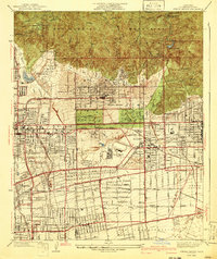
Editions of this 1941 Sierra Madre Map
2 editions found
Other maps of this area

1894 · Los Angeles
USGS Topo · 1:62,500

1894 · Pomona
USGS Topo · 1:62,500

1896 · Pasadena
USGS Topo · 1:62,500

1897 · Pomona
USGS Topo · 1:62,500

1898 · Pomona
USGS Topo · 1:62,500

1900 · Pasadena
USGS Topo · 1:62,500

1900 · Los Angeles
USGS Topo · 1:62,500

1901 · Southern California Sheet No. 1
USGS Topo · 1:250,000

1904 · Pomona
USGS Topo · 1:62,500

1904 · Southern California Sheet No. 1
USGS Topo · 1:250,000