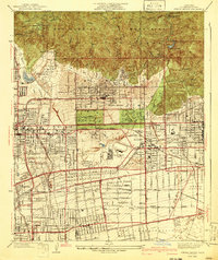
1941 Map of Sierra Madre
USGS Topo · Published 1941About this map
San Gabriel Mountains dominate the northern horizon of this 1940s landscape, where the Angeles National Forest meets the rapidly developing valley floor. The map documents a critical period of infrastructure growth, featuring the Santa Anita Dam and Sierra Madre Dam tucked into the steep canyons of Little Santa Anita Canyon and Santa Anita Canyon. On the plains below, the horse-racing venue at Santa Anita Park and the adjacent Santa Anita County Park serve as major regional landmarks.
Find a feature on this map
43 named features on this map. Tap any name to fly to it.
Don’t see what you’re looking for? This feature index may not catch every label — zoom into the map to look around manually.
Map Details
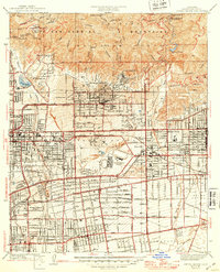
Editions of this 1941 Sierra Madre Map
2 editions found
Other maps of this area

1894 · Los Angeles
USGS Topo · 1:62,500

1894 · Pomona
USGS Topo · 1:62,500

1896 · Pasadena
USGS Topo · 1:62,500

1897 · Pomona
USGS Topo · 1:62,500

1898 · Pomona
USGS Topo · 1:62,500

1900 · Pasadena
USGS Topo · 1:62,500

1900 · Los Angeles
USGS Topo · 1:62,500

1901 · Southern California Sheet No. 1
USGS Topo · 1:250,000

1904 · Pomona
USGS Topo · 1:62,500

1904 · Southern California Sheet No. 1
USGS Topo · 1:250,000