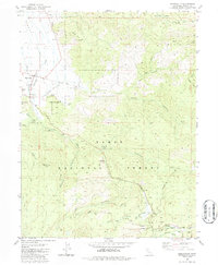
2021 Map of Sierraville
USGS Topo · Published 2021About this map
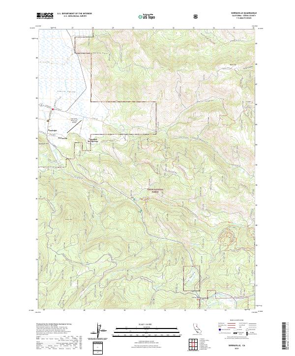
Sierra Valley meets the high timberlands in this detailed survey of the eastern Sierra Nevada. The settlement of Sierraville serves as the focal point, situated at the junction of local routes like W Main St and S Lincoln St. Just north lies the historic neighborhood of Randolph, while the eastern foothills are home to Campbell Hot Springs. The map reveals a landscape heavily used for both recreation and utility, with a dense network of forest roads and trails such as the Cottonwood Moto Trl and the Treasure Mountain Loop Trl crisscrossing the Tahoe National Forest.
Find a feature on this map
64 named features on this map. Tap any name to fly to it.
Don’t see what you’re looking for? This feature index may not catch every label — zoom into the map to look around manually.
Map Details
Editions of this 2021 Sierraville Map
This is the sole edition of this map. No revisions or reprints were ever made.
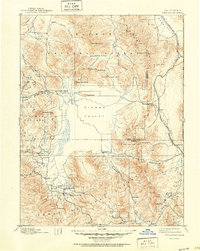
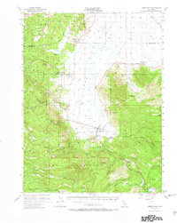
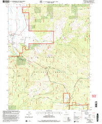
Historical Maps of Randolph Through Time
7 maps found