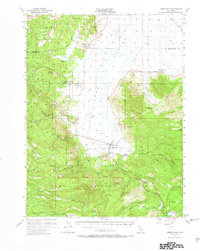
1955 Map of Sierraville
USGS Topo · Published 1969About this map
Sierra Valley dominates this mid-century landscape, characterized by a vast network of Artesian Wells and Artesian Wells that supported the high-altitude agriculture and ranching of the era. The mapping documents a working forest and valley economy where historical industry is still visible, including the Winnie Smith Mill (Ruins) and the Nichols Mill (Site). Settlements like Sierraville, Calpine, and Sattley serve as hubs along the highway, while the Tahoe National Forest encompasses the surrounding peaks and canyons. For genealogists and local historians, the map preserves the locations of early gathering places such as Campbell Hot Springs, Church Camp, and McPherrin Camp, alongside the historic route of the Henness Pass Road and the high-elevation Calpine Lookout.
Find a feature on this map
62 named features on this map. Tap any name to fly to it.
Don’t see what you’re looking for? This feature index may not catch every label — zoom into the map to look around manually.
Map Details
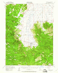
Editions of this 1955 Sierraville Map
3 editions found

Other maps of this area

1890 · Sierraville
USGS Topo · 1:125,000

1891 · Downieville
USGS Topo · 1:125,000

1891 · Colfax
USGS Topo · 1:125,000

1891 · Truckee
USGS Topo · 1:125,000

1892 · Sierraville
USGS Topo · 1:125,000

1892 · Colfax
USGS Topo · 1:125,000

1893 · Truckee
USGS Topo · 1:125,000

1893 · Downieville
USGS Topo · 1:125,000

1894 · Colfax
USGS Topo · 1:125,000

1894 · Sierraville
USGS Topo · 1:125,000