
1955 Map of Sierraville
USGS Topo · Published 1957About this map
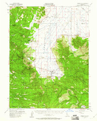
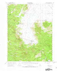
The community of Sierraville anchors this mid-century look at the Sierra Valley, where the northern mountains meet high alpine meadows. The landscape is dotted with evidence of the area's industrial and social history, including the Antelope Mine and the structural remains of the Winnie Smith Mill (Ruins). The survey highlights a localized economy transitioning between timber extraction, marked by the Nichols Mill (Site), and early 20th-century aviation at the Calpine Airport.
Find a feature on this map
56 named features on this map. Tap any name to fly to it.
Don’t see what you’re looking for? This feature index may not catch every label — zoom into the map to look around manually.
Map Details
Editions of this 1955 Sierraville Map
3 editions found
Other maps of this area

1890 · Sierraville
USGS Topo · 1:125,000

1891 · Downieville
USGS Topo · 1:125,000

1891 · Colfax
USGS Topo · 1:125,000

1891 · Truckee
USGS Topo · 1:125,000

1892 · Sierraville
USGS Topo · 1:125,000

1892 · Colfax
USGS Topo · 1:125,000

1893 · Truckee
USGS Topo · 1:125,000

1893 · Downieville
USGS Topo · 1:125,000

1894 · Colfax
USGS Topo · 1:125,000

1894 · Sierraville
USGS Topo · 1:125,000