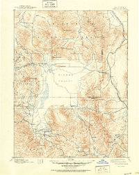
1894 Map of Sierraville
USGS Topo · Published 1951About this map
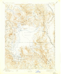
The vast expanse of the Sierra Valley dominates the heart of this survey, revealing a landscape defined by high mountain ranching and the nascent rail connections of the late 19th century. Several small settlements, including Loyalton, Sierraville, and Sattley, anchor the southern end of the valley, where Sulphur Spring and local Fair Grounds suggest established community gathering points. The northeastern corner is notable for the route of the Nevada California and Oregon Railway, which skirts the edge of Upper Long Valley near the California Nevada Boundary Line. The terrain is characterized by prominent peaks like Dixie Mountain and Mt Ina Coolbrith, while the northern reaches provide a look at the early boundaries of the Plumas National Forest. Local industry is evidenced by scattered Sawmill locations, particularly in the timber-rich drainage of Smithneck Creek.
Find a feature on this map
53 named features on this map. Tap any name to fly to it.
Don’t see what you’re looking for? This feature index may not catch every label — zoom into the map to look around manually.
Map Details
Editions of this 1894 Sierraville Map
9 editions found


Other maps of this area

1886 · Honey Lake
USGS Topo · 1:250,000

1886 · Granite Range
USGS Topo · 1:250,000

1890 · Sierraville
USGS Topo · 1:125,000

1891 · Downieville
USGS Topo · 1:125,000

1891 · Honey Lake
USGS Topo · 1:250,000

1891 · Carson
USGS Topo · 1:125,000

1891 · Colfax
USGS Topo · 1:125,000

1891 · Truckee
USGS Topo · 1:125,000

1891 · Reno
USGS Topo · 1:125,000

1892 · Sierraville
USGS Topo · 1:125,000