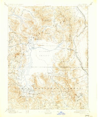
1894 Map of Sierraville
USGS Topo · Published 1927About this map
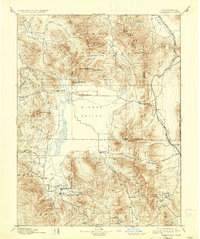
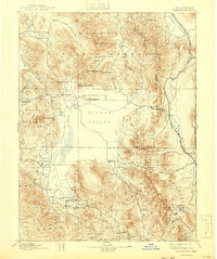
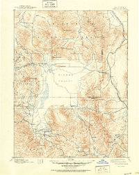
Sierra Valley dominates this late-nineteenth-century landscape, providing a flat expanse of agricultural land surrounded by the steep peaks of the Tahoe National Forest and Lassen National Forest. The map captures the region at a moment when the Nevada California and Oregon Railway skirted the eastern edge of the valley, connecting small settlements like Chats and Purdy along the California Nevada Boundary Line. Significant local activity is concentrated around Sierraville and Loyalton, while the higher elevations are marked by several timber operations, identified simply as Sawmill. Geographer A.H. Thompson and topographers A.F. Dunnington and R.H. Chapman recorded a network of vital mountain passages, including Beckwith Pass and Yuba Pass, which served as critical transit points between the valleys and the more remote mining and timber camps of the High Sierra.
Find a feature on this map
45 named features on this map. Tap any name to fly to it.
Don’t see what you’re looking for? This feature index may not catch every label — zoom into the map to look around manually.
Map Details
Editions of this 1894 Sierraville Map
9 editions found


Other maps of this area

1886 · Honey Lake
USGS Topo · 1:250,000

1886 · Granite Range
USGS Topo · 1:250,000

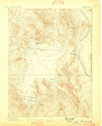
1890 · Sierraville
USGS Topo · 1:125,000

1891 · Downieville
USGS Topo · 1:125,000

1891 · Honey Lake
USGS Topo · 1:250,000

1891 · Carson
USGS Topo · 1:125,000

1891 · Colfax
USGS Topo · 1:125,000

1891 · Truckee
USGS Topo · 1:125,000

1891 · Reno
USGS Topo · 1:125,000

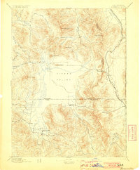
1892 · Sierraville
USGS Topo · 1:125,000