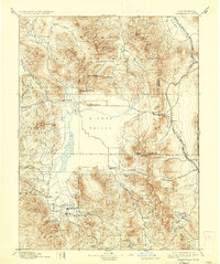
1894 Map of Sierraville
USGS Topo · Published 1937About this map
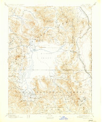
The Sierra Valley provides a vast central basin in this late nineteenth-century survey, surrounded by the high peaks of the Plumas National Forest. Small settlements like Sierraville, Loyalton, and Sattley anchor the valley floor, connected by early wagon roads and the Nevada California and Oregon Railway which snakes through Long Valley to the east. At the northern edge, Beckwith serves as a gateway near the Feather River, while Summit Beckwith Pass marks a critical transit point through the eastern range.
Find a feature on this map
48 named features on this map. Tap any name to fly to it.
Don’t see what you’re looking for? This feature index may not catch every label — zoom into the map to look around manually.
Map Details
Editions of this 1894 Sierraville Map
9 editions found


Other maps of this area

1886 · Honey Lake
USGS Topo · 1:250,000

1886 · Granite Range
USGS Topo · 1:250,000

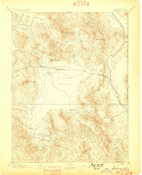
1890 · Sierraville
USGS Topo · 1:125,000

1891 · Downieville
USGS Topo · 1:125,000

1891 · Honey Lake
USGS Topo · 1:250,000

1891 · Carson
USGS Topo · 1:125,000

1891 · Colfax
USGS Topo · 1:125,000

1891 · Truckee
USGS Topo · 1:125,000

1891 · Reno
USGS Topo · 1:125,000

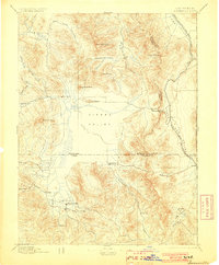
1892 · Sierraville
USGS Topo · 1:125,000