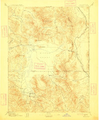
1894 Map of Sierraville
USGS Topo · Published 1913About this map
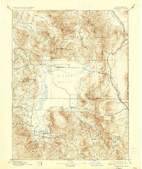
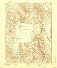
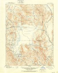
The broad, flat expanse of Sierra Valley anchors this 1894 survey, illustrating a unique alpine basin during a period of transition for northern California and Nevada. Settlement is concentrated along the valley floor, with Sierraville and Loyalton serving as primary hubs, while smaller stops like Sattley and the remote post office at Etta mark the rural landscape. In the southeast, a Fair Grounds and Sulphur Spring indicate early social and recreational infrastructure near the town centers.
Find a feature on this map
48 named features on this map. Tap any name to fly to it.
Don’t see what you’re looking for? This feature index may not catch every label — zoom into the map to look around manually.
Map Details
Editions of this 1894 Sierraville Map
9 editions found


Other maps of this area

1886 · Honey Lake
USGS Topo · 1:250,000

1886 · Granite Range
USGS Topo · 1:250,000

1890 · Sierraville
USGS Topo · 1:125,000

1891 · Downieville
USGS Topo · 1:125,000

1891 · Honey Lake
USGS Topo · 1:250,000

1891 · Carson
USGS Topo · 1:125,000

1891 · Colfax
USGS Topo · 1:125,000

1891 · Truckee
USGS Topo · 1:125,000

1891 · Reno
USGS Topo · 1:125,000

1892 · Sierraville
USGS Topo · 1:125,000