
1894 Map of Sierraville
USGS Topo · Published 1907About this map
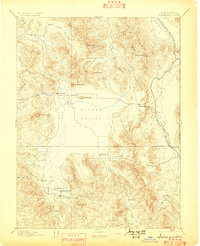
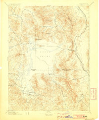
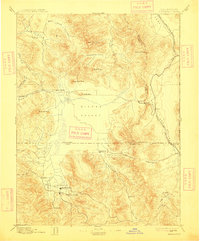
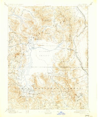
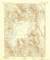
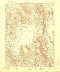
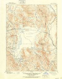
Sierraville and the expansive Sierra Valley anchor this late-19th-century survey of the high country where the Sierra Nevada meets the Great Basin. The landscape is defined by its early transportation and agricultural patterns, from the Fair Grounds south of Sierraville to the winding route of the Nevada California and Oregon Railway as it follows the California Nevada Boundary Line. The map reveals the settlement hierarchy of the era, showing villages like Loyalton, Sattley, and Beckwith positioned at the valley's edge where mountain drainages like Smithneck Creek and the Feather River emerge. Timber and transit were clearly vital to the local economy, evidenced by several Sawmill sites and the strategic importance of mountain crossings like Yuba Pass and Beckwith Pass. This sheet captures a specific moment before modern forest management and highway development shifted the character of these high-altitude communities.
Find a feature on this map
44 named features on this map. Tap any name to fly to it.
Don’t see what you’re looking for? This feature index may not catch every label — zoom into the map to look around manually.
Map Details
Editions of this 1894 Sierraville Map
9 editions found

Other maps of this area

1886 · Honey Lake
USGS Topo · 1:250,000

1886 · Granite Range
USGS Topo · 1:250,000

1890 · Sierraville
USGS Topo · 1:125,000

1891 · Downieville
USGS Topo · 1:125,000

1891 · Honey Lake
USGS Topo · 1:250,000

1891 · Carson
USGS Topo · 1:125,000

1891 · Colfax
USGS Topo · 1:125,000

1891 · Truckee
USGS Topo · 1:125,000

1891 · Reno
USGS Topo · 1:125,000

1892 · Sierraville
USGS Topo · 1:125,000