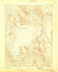
1894 Map of Sierraville
USGS Topo · Published 1899About this map
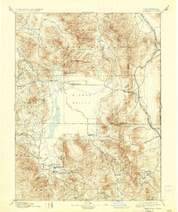
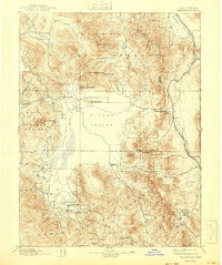
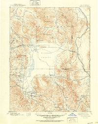
Sierra Valley serves as the central focal point of this late-nineteenth-century survey, surrounded by a complex network of alpine valleys and mountain peaks. The high-altitude settlements of Sierraville, Sattley, and Beckwith anchor the local community, while smaller locales like Etta and Chats appear during their early development. The California Nevada and Oregon Railway traces a path along the eastern edge, crossing through Summit Beckwith Pass to navigate the difficult terrain near the California State Boundary Line. This topography reflects an economy tied to both transit and timber, evidenced by the presence of a Sawmill and the Fair Grounds south of the main settlement. Numerous water sources, including Hamlin Creek, Frenchman Creek, and the Sulphur Spring, define the drainage patterns of the surrounding heights like Dixie Mountain and Adams Peak.
Find a feature on this map
43 named features on this map. Tap any name to fly to it.
Don’t see what you’re looking for? This feature index may not catch every label — zoom into the map to look around manually.
Map Details
Editions of this 1894 Sierraville Map
9 editions found


Other maps of this area

1886 · Honey Lake
USGS Topo · 1:250,000

1886 · Granite Range
USGS Topo · 1:250,000

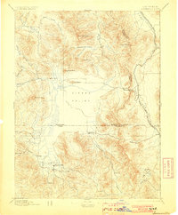
1890 · Sierraville
USGS Topo · 1:125,000

1891 · Downieville
USGS Topo · 1:125,000

1891 · Honey Lake
USGS Topo · 1:250,000

1891 · Carson
USGS Topo · 1:125,000

1891 · Colfax
USGS Topo · 1:125,000

1891 · Truckee
USGS Topo · 1:125,000

1891 · Reno
USGS Topo · 1:125,000

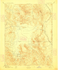
1892 · Sierraville
USGS Topo · 1:125,000