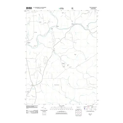
2011 Map of Sigel
USGS Topo · Published 2011About this map
The Clarion River winds through this northern Pennsylvania landscape, carving a deep valley that separates the settlements of Millstone and Belltown. In the early 21st century, this area remains a mix of dense forest and small rural clusters, with high points like Stahlman Roundtop and Gregg Hill overlooking a complex network of runs and creeks. The terrain is marked by significant geological and recreational landmarks, most notably the Beartown Rocks and the associated Beartown Rocks Vista, providing a clear view of the surrounding drainage basins of Clear Creek and Little Clear Creek.
Find a feature on this map
77 named features on this map. Tap any name to fly to it.
Don’t see what you’re looking for? This feature index may not catch every label — zoom into the map to look around manually.
Map Details
Editions of this 2011 Sigel Map
This is the sole edition of this map. No revisions or reprints were ever made.
Other maps of this area

1918 · Loleta
USGS Topo · 1:62,500

1922 · Du Bois
USGS Topo · 1:62,500

1924 · Du Bois
USGS Topo · 1:62,500

1924 · Brookville
USGS Topo · 1:62,500

1926 · Brookville
USGS Topo · 1:62,500

1936 · Marienville
USGS Topo · 1:48,000

1940 · Hallton
USGS Topo · 1:48,000

1941 · Marienville
USGS Topo · 1:62,500

1943 · Hallton
USGS Topo · 1:62,500

1944 · Du Bois
USGS Topo · 1:62,500
Featured Places
- Warsaw Township, PA
- Millstone Township, PA
- Sigel, Eldred Township
- Clarington, Barnett Township
- Belltown, Millstone Township