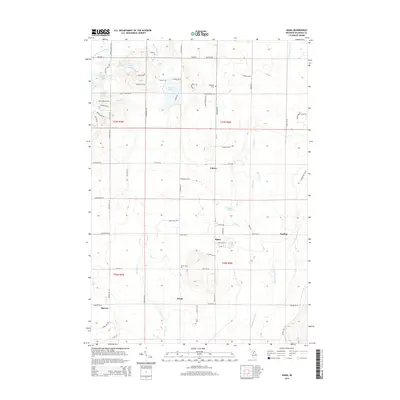
2014 Map of Sigma
USGS Topo · Published 2014About this map
The N Br Manistee River and the N Br Boardman River define the hydrography of this northern Michigan landscape, where the headwaters of these distinct drainage systems nearly meet. Small rural settlements like Sigma and Angling are situated along the river valley, while Cotton and O'Neil occupy the higher ground to the west. This map illustrates the transition from the lake-dotted terrain of Crawford Lake and Lake Placid in the north to the more structured grid of rural roads such as Cool Rd SE and Kniss Rd SE further south. Genealogists and local historians will find family and community history at Excelsior Cem and Oliver Cem, which serve the dispersed farmsteads and small clusters of residences that have long characterized the Oliver Township area.
Find a feature on this map
63 named features on this map. Tap any name to fly to it.
Don’t see what you’re looking for? This feature index may not catch every label — zoom into the map to look around manually.
Map Details
Editions of this 2014 Sigma Map
This is the sole edition of this map. No revisions or reprints were ever made.
Other maps of this area

1949 · Black Creek
USGS Topo · 1:24,000

1949 · Fletcher
USGS Topo · 1:62,500

1950 · Fletcher
USGS Topo · 1:24,000

1954 · Traverse City
USGS Topo · 1:250,000

1956 · Alba
USGS Topo · 1:62,500

1956 · Mancelona
USGS Topo · 1:62,500

1956 · Kalkaska
USGS Topo · 1:62,500

1958 · Traverse City
USGS Topo · 1:250,000

1983 · Traverse City
USGS Topo · 1:100,000
1983 · Grayling
USGS Topo · 1:100,000