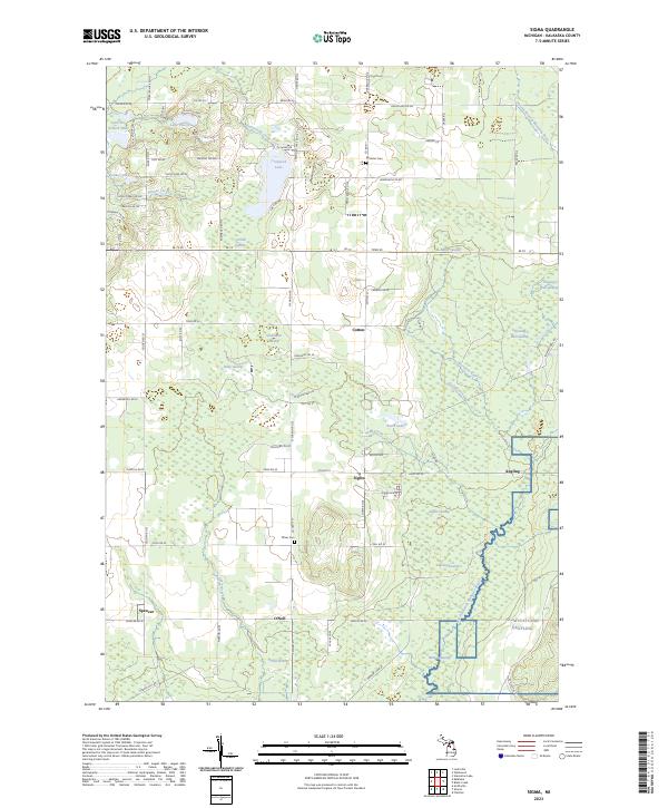
2023 Map of Sigma
USGS Topo · Published 2023About this map
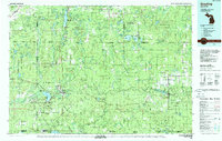
Sigma and its surrounding townships in Kalkaska County are defined by a complex mosaic of wetlands and glaciated terrain in the upper reaches of the North Branch Manistee River. Small agricultural and timber-based settlements like Cotton, Angling, and Spencer dot the landscape, connected by a network of county roads and historic corridors such as Number 16 RR SE. This survey reveals the significant role of groundwater in the local environment, evidenced by named wetlands like O'Neil Swamp, Riley Swamp, and Sigma Swamp which feed the area's tributaries.
Find a feature on this map
62 named features on this map. Tap any name to fly to it.
Don’t see what you’re looking for? This feature index may not catch every label — zoom into the map to look around manually.
Map Details
Editions of this 2023 Sigma Map
This is the sole edition of this map. No revisions or reprints were ever made.
Other maps of this area
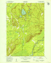
1949 · Black Creek
USGS Topo · 1:24,000
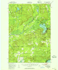
1949 · Fletcher
USGS Topo · 1:62,500
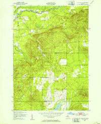
1950 · Fletcher
USGS Topo · 1:24,000

1954 · Traverse City
USGS Topo · 1:250,000
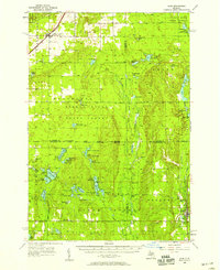
1956 · Alba
USGS Topo · 1:62,500
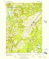
1956 · Mancelona
USGS Topo · 1:62,500
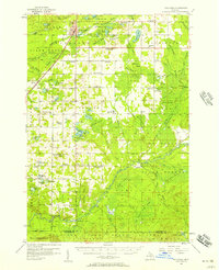
1956 · Kalkaska
USGS Topo · 1:62,500

1958 · Traverse City
USGS Topo · 1:250,000
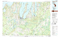
1983 · Traverse City
USGS Topo · 1:100,000
1983 · Grayling
USGS Topo · 1:100,000