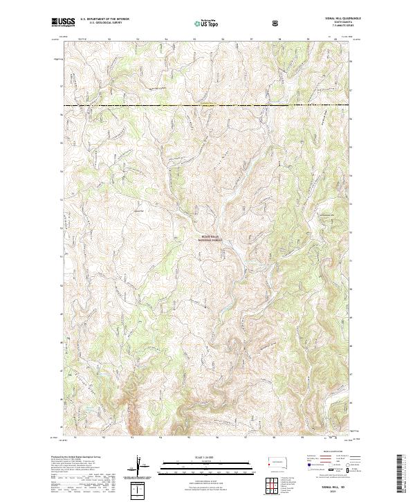
2021 Map of Signal Hill
USGS Topo · Published 2021About this map
Black Hills National Forest land defines this section of western South Dakota, straddling the border of Pennington and Custer counties. The landscape is dominated by a complex system of ridges and canyons, including the prominent Signal Hill and the long expanse of Elliot Ridge. Water sources are critical identifiers in this environment, with several named springs such as Alkali Spring, Mud Spring, and Tepee Spring serving as vital landmarks for those navigating the backcountry.
Find a feature on this map
73 named features on this map. Tap any name to fly to it.
Don’t see what you’re looking for? This feature index may not catch every label — zoom into the map to look around manually.
Map Details
Editions of this 2021 Signal Hill Map
This is the sole edition of this map. No revisions or reprints were ever made.
Other maps of this area

1896 · Harney Peak
USGS Topo · 1:125,000

1901 · Harney Peak
USGS Topo · 1:125,000

1954 · Fourmile
USGS Topo · 1:24,000

1954 · Berne
USGS Topo · 1:24,000

1955 · Dead Horse Flats
USGS Topo · 1:24,000

1955 · Jewel Cave NW
USGS Topo · 1:24,000

1955 · Jewel Cave
USGS Topo · 1:24,000

1955 · Signal Hill
USGS Topo · 1:24,000

1955 · Hot Springs
USGS Topo · 1:250,000
1956 · Custer
USGS Topo · 1:62,500