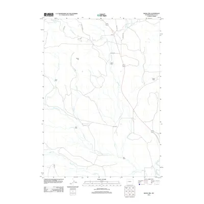
2012 Map of Signal Hill
USGS Topo · Published 2012About this map
The Green River cuts through the southeastern corner of this high-elevation landscape in Sublette County, serving as the primary drainage for a network of seasonal and perennial creeks. The terrain is defined by dramatic local relief, rising from the river bottom toward the prominent Signal Hill and the elevated stretch of Aspen Ridge to the east. A series of deep landforms, including Cow Gulch, Hay Gulch, and Annie Draw, illustrate the complex erosional patterns that shape this cattle-country environment. Human footprint in the early 21st century remains sparse, consisting primarily of a skeletal road network that follows the natural contours of the drainages. N Beaver Rd and Merna Rd provide access to this open range, connecting the various forks of Beaver Creek, including Middle Beaver Cr and N Beaver Cr, which remain central to the area's agricultural and hydrological character.
Find a feature on this map
24 named features on this map. Tap any name to fly to it.
Don’t see what you’re looking for? This feature index may not catch every label — zoom into the map to look around manually.
Map Details
Editions of this 2012 Signal Hill Map
This is the sole edition of this map. No revisions or reprints were ever made.
Other maps of this area

1907 · Gros Ventre
USGS Topo · 1:125,000

1910 · Gros Ventre
USGS Topo · 1:125,000

1939 · Big Piney
USGS Topo · 1:125,000

1942 · Big Piney
USGS Topo · 1:125,000

1955 · Driggs
USGS Topo · 1:250,000

1955 · Preston
USGS Topo · 1:250,000

1958 · Driggs
USGS Topo · 1:250,000

1958 · Preston
USGS Topo · 1:250,000

1962 · Driggs
USGS Topo · 1:250,000

1962 · Preston
USGS Topo · 1:250,000