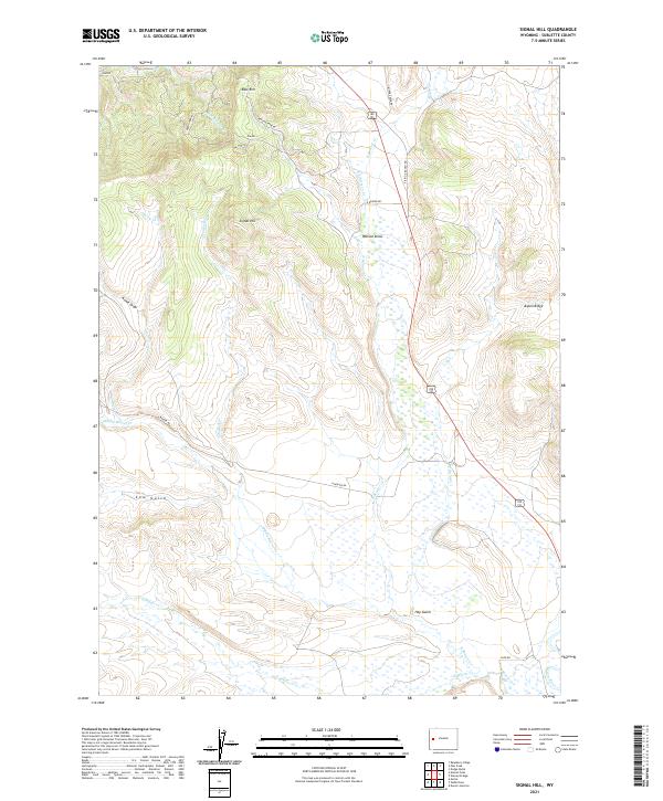
2021 Map of Signal Hill
USGS Topo · Published 2021About this map
Signal Hill stands at the center of this high-plateau landscape, where the drainage systems of the upper Green River basin carve through the terrain. The map documents a complex network of waterways, including Middle Beaver Cr, S Beaver Cr, and the winding Crooked Cr, which define the ranching and grazing lands of Sublette County. Evidence of local water management is visible through the presence of the Lena Ditch, reflecting the necessity of irrigation in this arid environment. Significant topographical features like East Rim and Aspen Ridge frame the draws and gulches that characterize the region. The transport network is primarily composed of ranch and access roads such as N Beaver Rd and Watson Draw Rd, which facilitate movement between the high ridges and the lower drainage basins like Cow Gulch and Hay Gulch.
Find a feature on this map
29 named features on this map. Tap any name to fly to it.
Don’t see what you’re looking for? This feature index may not catch every label — zoom into the map to look around manually.
Map Details
Editions of this 2021 Signal Hill Map
This is the sole edition of this map. No revisions or reprints were ever made.
Other maps of this area

1907 · Gros Ventre
USGS Topo · 1:125,000

1910 · Gros Ventre
USGS Topo · 1:125,000

1939 · Big Piney
USGS Topo · 1:125,000

1942 · Big Piney
USGS Topo · 1:125,000

1955 · Driggs
USGS Topo · 1:250,000

1955 · Preston
USGS Topo · 1:250,000

1958 · Driggs
USGS Topo · 1:250,000

1958 · Preston
USGS Topo · 1:250,000

1962 · Driggs
USGS Topo · 1:250,000

1962 · Preston
USGS Topo · 1:250,000