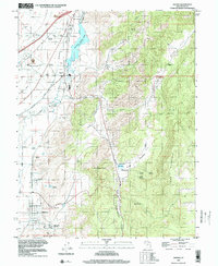
1997 Map of Sigurd
USGS Topo · Published 2001About this map
The Sevier River valley serves as a lifeblood for agricultural and utility operations in central Utah, where the Richfield Canal and other waterways sustain the small settlements of Sigurd and Glenwood. The local infrastructure is deeply connected to water management, anchored by the Rocky Ford Res and its accompanying Rocky Ford Dam. Near Vermillion, the landscape transitions from irrigated valley floors to the high, broken terrain of the Rainbow Hills and Cedar Mountain.
Find a feature on this map
46 named features on this map. Tap any name to fly to it.
Don’t see what you’re looking for? This feature index may not catch every label — zoom into the map to look around manually.
Map Details
Editions of this 1997 Sigurd Map
This is the sole edition of this map. No revisions or reprints were ever made.
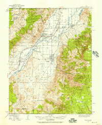
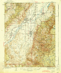
Other maps of this area

1885 · Beaver
USGS Topo · 1:250,000

1885 · Fish Lake
USGS Topo · 1:250,000

1896 · Fish Lake
USGS Topo · 1:250,000
1940 · Monroe
USGS Topo · 1:62,500
1944 · Monroe
USGS Topo · 1:62,500

1953 · Richfield
USGS Topo · 1:250,000

1956 · Salina
USGS Topo · 1:250,000

1958 · Richfield
USGS Topo · 1:250,000

1960 · Salina
USGS Topo · 1:250,000
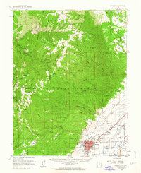
1961 · Richfield
USGS Topo · 1:62,500