
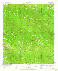
1954 Map of Sikes
USGS Topo · Published 1955About this map
The Tremont & Gulf railroad anchors this 1954 landscape, connecting the small community of Sikes and the nearby Sikes Spur to the wider region. This North Louisiana terrain is defined by a dense network of timber-country landmarks and rural gathering places, including the Hoods Mill Lookout Tower and Sikes Lookout Tower. The map reveals a deeply settled agricultural and timber economy, evidenced by the numerous country churches like Pleasant Hill Ch and Sharon Ch that dot the crossroads.
Find a feature on this map
95 named features on this map. Tap any name to fly to it.
Don’t see what you’re looking for? This feature index may not catch every label — zoom into the map to look around manually.
Map Details
Editions of this 1954 Sikes Map
4 editions found
Other maps of this area

1940 · Monroe
USGS Topo · 1:62,500

1940 · Columbia
USGS Topo · 1:62,500

1949 · Jonesboro
USGS Topo · 1:62,500

1950 · Jonesboro
USGS Topo · 1:62,500

1950 · Winnfield
USGS Topo · 1:62,500

1951 · Winnfield
USGS Topo · 1:62,500

1953 · Chatham
USGS Topo · 1:62,500

1953 · Hodge
USGS Topo · 1:62,500

1953 · Alexandria
USGS Topo · 1:250,000

1954 · Tullos
USGS Topo · 1:62,500