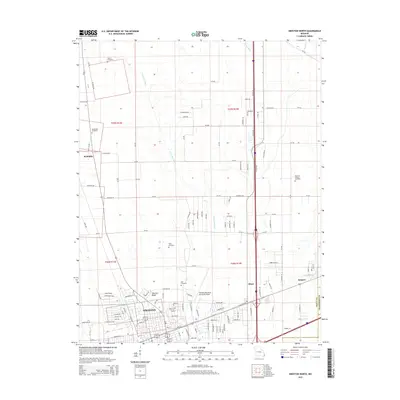
2015 Map of Sikeston North
USGS Topo · Published 2015About this map
Sikeston Ridge defines the local topography, creating a distinct elevated corridor amidst the low-lying agricultural drainage networks of the Missouri Bootheel. The northern reaches of Sikeston dominate the southern portion of the map, where residential development and the Sikeston Memorial Municipal Airport meet the surrounding farmland. This transition from urban center to rural landscape is marked by numerous family and community burial grounds, including Hunter Cemetery, Bennifield Cemetery, and Hart Cemetery, which serve as vital markers for genealogical research in Scott County. The landscape is heavily modified by an extensive water management system, with Saint Johns Ditch, Town Ditch, and Blue Ditch cutting across the terrain to support the region's intensive agriculture. To the north and east, smaller settlements like McMullin, Miner, and Sargent illustrate the persistent importance of transportation and small-town hubs within this fertile delta region.
Find a feature on this map
124 named features on this map. Tap any name to fly to it.
Don’t see what you’re looking for? This feature index may not catch every label — zoom into the map to look around manually.
Map Details
Editions of this 2015 Sikeston North Map
This is the sole edition of this map. No revisions or reprints were ever made.
Other maps of this area

1931 · Sikeston
USGS Topo · 1:62,500

1934 · Thebes
USGS Topo · 1:62,500

1934 · Morley
USGS Topo · 1:62,500

1934 · Sikeston
USGS Topo · 1:62,500

1939 · Sikeston
USGS Topo · 1:62,500

1939 · Charleston
USGS Topo · 1:62,500

1939 · Morley
USGS Topo · 1:62,500

1939 · Thebes
USGS Topo · 1:62,500

1949 · Paducah
USGS Topo · 1:250,000

1950 · Paducah
USGS Topo · 1:250,000