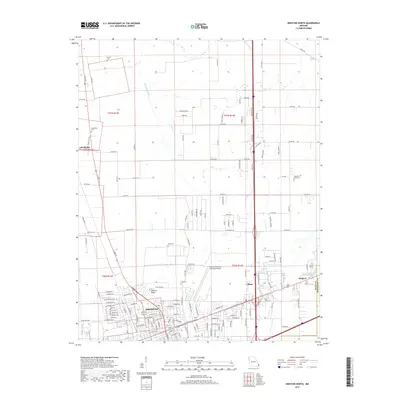
2017 Map of Sikeston North
USGS Topo · Published 2017About this map
Sikeston anchor this landscape of the Missouri Bootheel, situated at the boundary of Scott and Mississippi Counties. The map reveals a highly engineered agricultural environment dominated by an extensive drainage system, including Saint Johns Ditch, Town Ditch, and N Cut Ditch. These man-made channels were critical for reclaiming the swampy bottomlands for large-scale farming.
Find a feature on this map
147 named features on this map. Tap any name to fly to it.
Don’t see what you’re looking for? This feature index may not catch every label — zoom into the map to look around manually.
Map Details
Editions of this 2017 Sikeston North Map
This is the sole edition of this map. No revisions or reprints were ever made.
Other maps of this area

1931 · Sikeston
USGS Topo · 1:62,500

1934 · Thebes
USGS Topo · 1:62,500

1934 · Morley
USGS Topo · 1:62,500

1934 · Sikeston
USGS Topo · 1:62,500

1939 · Sikeston
USGS Topo · 1:62,500

1939 · Charleston
USGS Topo · 1:62,500

1939 · Morley
USGS Topo · 1:62,500

1939 · Thebes
USGS Topo · 1:62,500

1949 · Paducah
USGS Topo · 1:250,000

1950 · Paducah
USGS Topo · 1:250,000