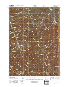
2011 Map of Silica Mountain
USGS Topo · Published 2011About this map
The Calapooya Divide serves as a prominent geographic backbone for this portion of the Cascade Range foothills in Lane County. High-altitude peaks such as Silica Mountain, Huckleberry Mountain, and Windy Mountain define the drainage basins for an intricate network of waterways, including the East Fork Mosby Creek and Sharps Creek. This area is characterized by its heavy concentration of Bureau of Land Management (BLM) access roads and its proximity to the Willamette National Forest in the northeast. Small-scale human activity is centered around sites like Silica Camp, while the rest of the landscape remains dominated by timber management and drainage systems for the many creeks that feed the larger regional rivers. Local history is etched into the terrain via named ridges and peaks like Snow Peak and Holderman Mountain, which have long guided movement through these heavily forested mountains.
Find a feature on this map
50 named features on this map. Tap any name to fly to it.
Don’t see what you’re looking for? This feature index may not catch every label — zoom into the map to look around manually.
Map Details
Editions of this 2011 Silica Mountain Map
This is the sole edition of this map. No revisions or reprints were ever made.
Other maps of this area

1935 · Lowell
USGS Topo · 1:96,000

1942 · Lowell
USGS Topo · 1:125,000

1955 · Mace Mtn
USGS Topo · 1:62,500

1955 · Illahee Rock
USGS Topo · 1:62,500

1955 · Fairview Peak
USGS Topo · 1:62,500

1955 · Culp Creek
USGS Topo · 1:62,500

1958 · Roseburg
USGS Topo · 1:250,000

1959 · Roseburg
USGS Topo · 1:250,000

1978 · Diamond Lake
USGS Topo · 1:100,000

1983 · Oakridge
USGS Topo · 1:100,000