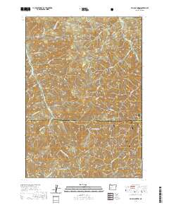
2020 Map of Silica Mountain
USGS Topo · Published 2020About this map
The Umpqua National Forest dominates the southern reaches of this landscape, where the rugged crest of the Calapooya Divide separates the watersheds of the Willamette and Umpqua river systems. This terrain is defined by its dramatic relief, rising from the valley floors toward high points like Silica Mtn, Snow Peak, and Huckleberry Mtn. A network of forest roads and resource management tracks, such as Mosby Creek Rd and numerous BLM routes, crisscrosses the slopes, providing access to the deep drainages of E Fork Mosby Cr and W Fork Mosby Cr. The map captures a moment in recent management of these public lands, showing the intricate hydrology of the western Cascades where Huckleberry Spring feeds into the winding creek systems that historically supported the regional timber economy.
Find a feature on this map
61 named features on this map. Tap any name to fly to it.
Don’t see what you’re looking for? This feature index may not catch every label — zoom into the map to look around manually.
Map Details
Editions of this 2020 Silica Mountain Map
This is the sole edition of this map. No revisions or reprints were ever made.
Other maps of this area

1935 · Lowell
USGS Topo · 1:96,000

1942 · Lowell
USGS Topo · 1:125,000

1955 · Mace Mtn
USGS Topo · 1:62,500

1955 · Illahee Rock
USGS Topo · 1:62,500

1955 · Fairview Peak
USGS Topo · 1:62,500

1955 · Culp Creek
USGS Topo · 1:62,500

1958 · Roseburg
USGS Topo · 1:250,000

1959 · Roseburg
USGS Topo · 1:250,000

1978 · Diamond Lake
USGS Topo · 1:100,000

1983 · Oakridge
USGS Topo · 1:100,000