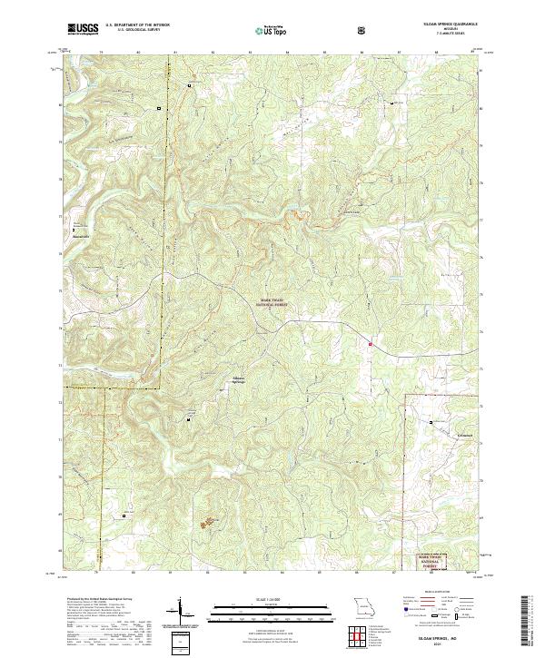
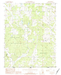
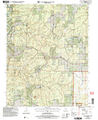
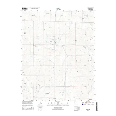
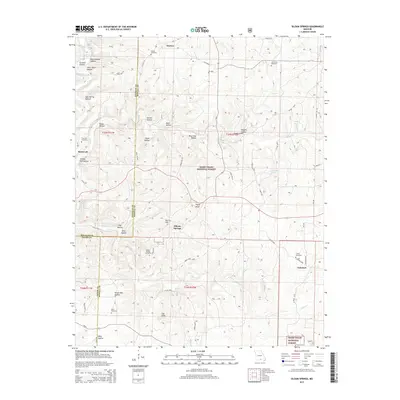
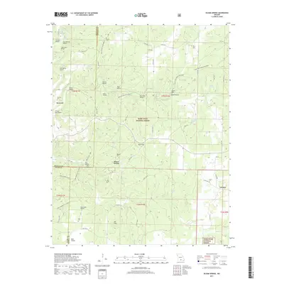
2021 Map of Siloam Springs
USGS Topo · Published 2021About this map
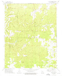
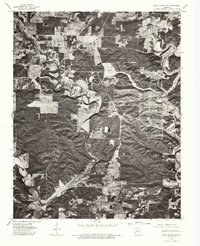
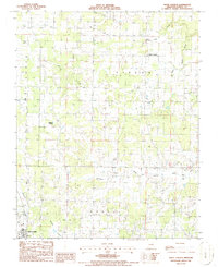
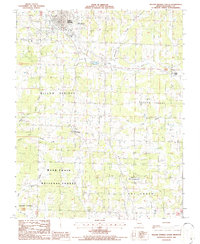
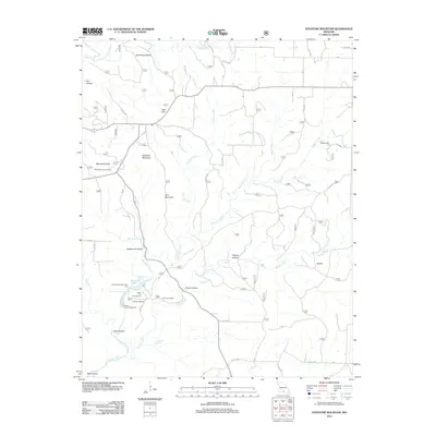
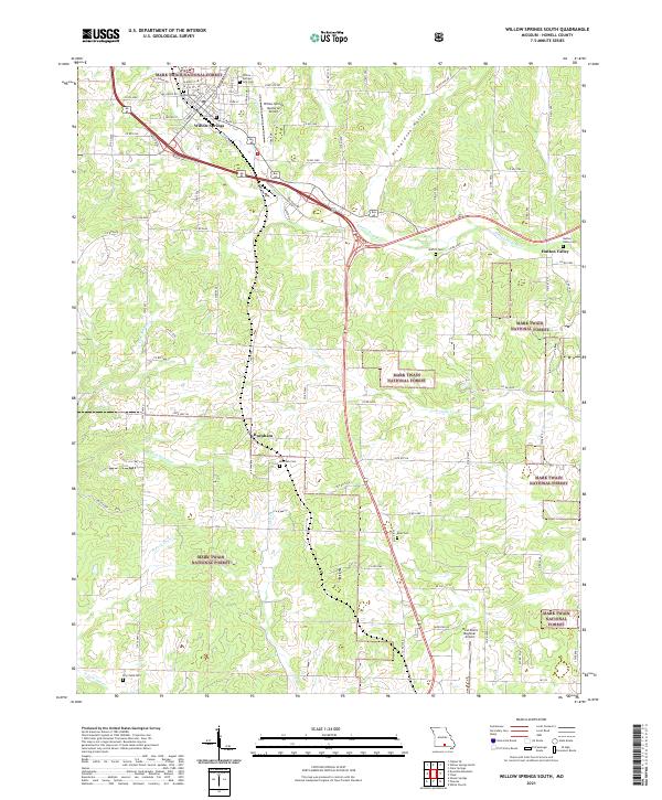
Siloam Springs and the surrounding Ozark woodlands of Howell County are documented here within the Mark Twain National Forest. This terrain is defined by its complex network of "hollows" and natural springs, including the distinctive drainage of Spring Creek, Tabor Cr, and Lick Br. Notable landmarks like Lovers Leap and The Sinks suggest a landscape shaped by karst topography and seasonal water flow. Genealogists will find several burial grounds throughout the area, such as Thornton - Roosevelt Cem near the settlement of Roosevelt and Mitts Cem further south. The map also traces the boundaries where Douglas, Howell, and Ozark counties meet, illustrating the rural road network including State Hwy AP and State Hwy CC that connects these remote Missouri communities.
Find a feature on this map
54 named features on this map. Tap any name to fly to it.
Don’t see what you’re looking for? This feature index may not catch every label — zoom into the map to look around manually.
Map Details
Editions of this 2021 Siloam Springs Map
This is the sole edition of this map. No revisions or reprints were ever made.
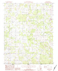
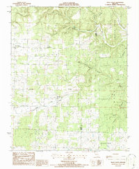
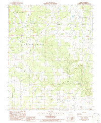
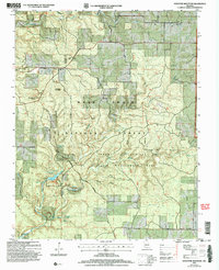
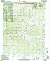
Historical Maps of Grimmet Through Time
61 maps found
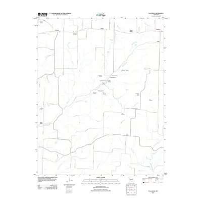
1968 Caulfield
Howell County, MO
1968 Pottersville
Howell County, MO
1973 Dyestone Mountain
Howell County, MO
1973 Siloam Springs
Howell County, MO
1976 Thayer NW
Howell County, MO
1976 Thayer SW
Howell County, MO
1976 West Plains NW
Howell County, MO
1976 West Plains SE
Howell County, MO
1976 West Plains SW
Howell County, MO
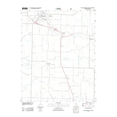
1976 Willow Springs NW
Howell County, MO
1976 Willow Springs SW
Howell County, MO
1983 Lanton
Howell County, MO
1983 Moody
Howell County, MO
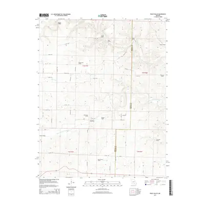
1986 Peace Valley
Howell County, MO
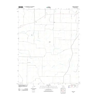
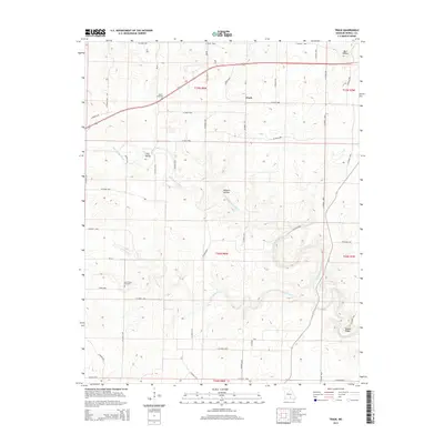
1986 Trask
Howell County, MO
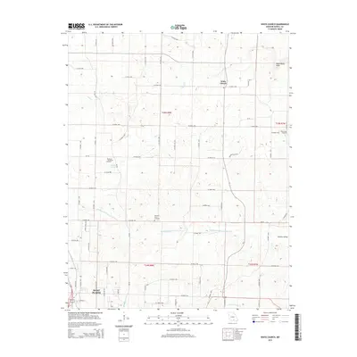
1986 White Church
Howell County, MO
1986 Willow Springs South
Howell County, MO
2004 Dyestone Mountain
Howell County, MO
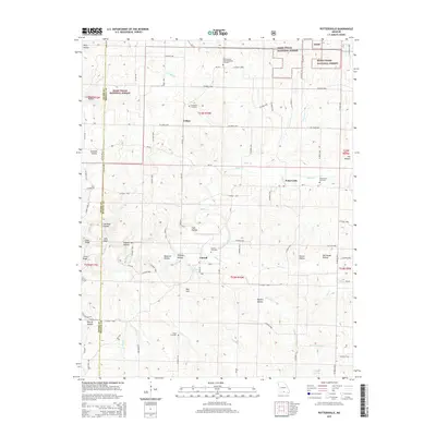
2004 Pottersville
Howell County, MO
2004 Siloam Springs
Howell County, MO
2004 Willow Springs South
Howell County, MO
2011 Lanton
Howell County, MO
2011 Peace Valley
Howell County, MO
2011 Trask
Howell County, MO
2011 Willow Springs South
Howell County, MO
2012 Caulfield
Howell County, MO
2012 Dyestone Mountain
Howell County, MO
2012 Moody
Howell County, MO
2012 Pottersville
Howell County, MO
2012 Siloam Springs
Howell County, MO
2012 White Church
Howell County, MO
2015 Caulfield
Howell County, MO
2015 Dyestone Mountain
Howell County, MO
2015 Lanton
Howell County, MO
2015 Moody
Howell County, MO
2015 Peace Valley
Howell County, MO
2015 Pottersville
Howell County, MO
2015 Siloam Springs
Howell County, MO
2015 Trask
Howell County, MO
2015 White Church
Howell County, MO
2015 Willow Springs South
Howell County, MO
2017 Caulfield
Howell County, MO
2017 Dyestone Mountain
Howell County, MO
2017 Lanton
Howell County, MO
2017 Moody
Howell County, MO
2017 Peace Valley
Howell County, MO
2017 Pottersville
Howell County, MO
2017 Siloam Springs
Howell County, MO
2017 Trask
Howell County, MO
2017 Willow Springs South
Howell County, MO
2019 White Church
Howell County, MO
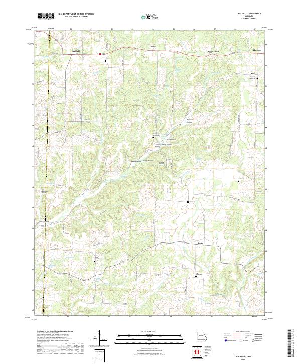
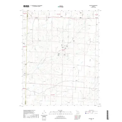
2021 Caulfield
Howell County, MO
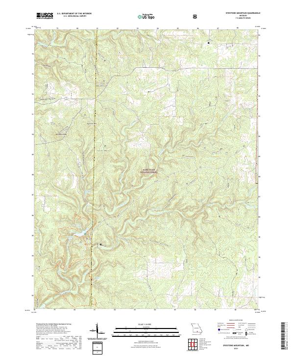
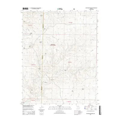
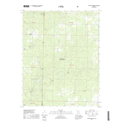
2021 Dyestone Mountain
Howell County, MO
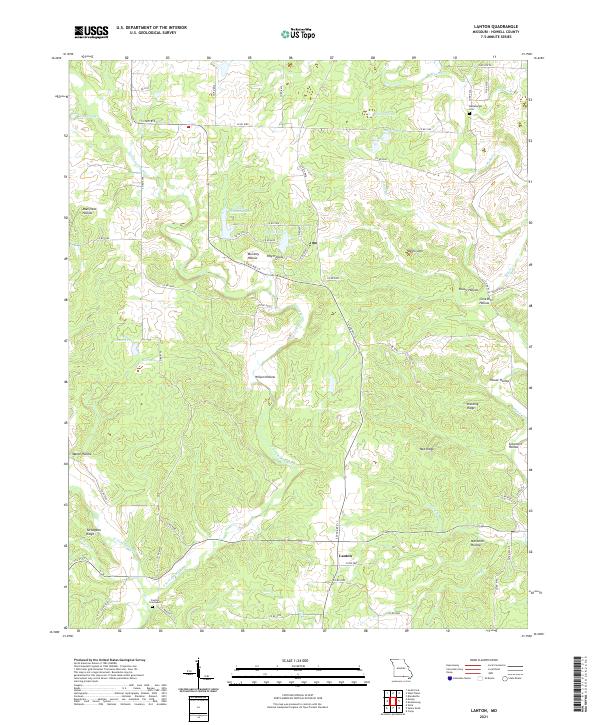
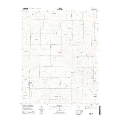
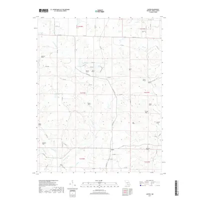
2021 Lanton
Howell County, MO
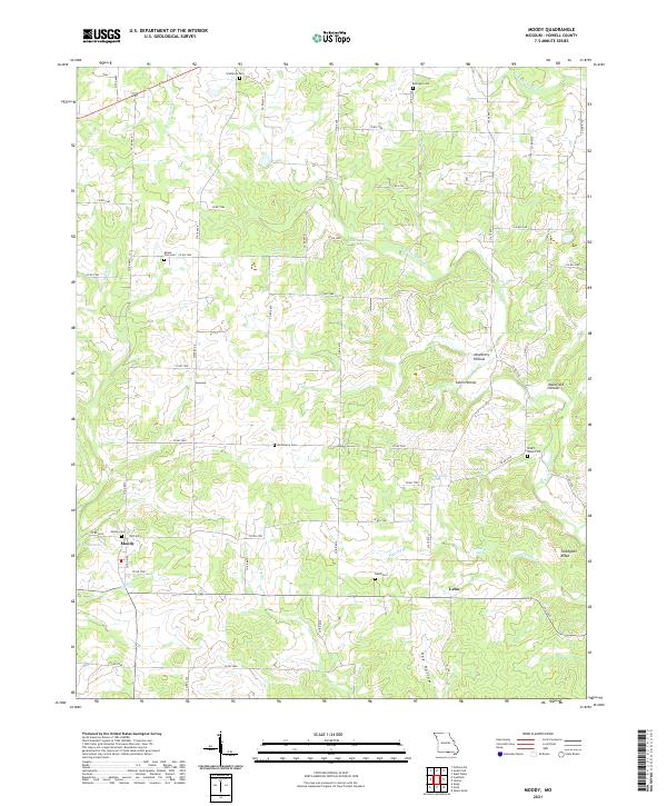
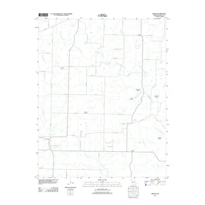
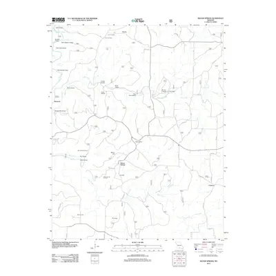
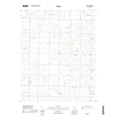
2021 Moody
Howell County, MO
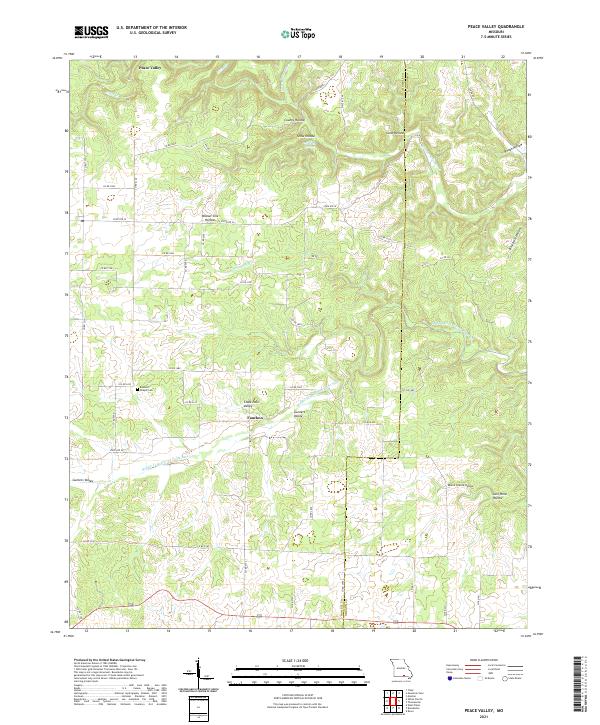
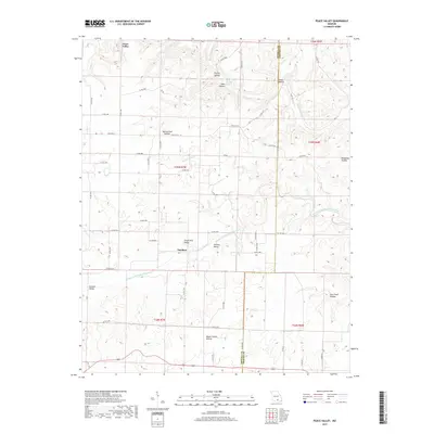
2021 Peace Valley
Howell County, MO
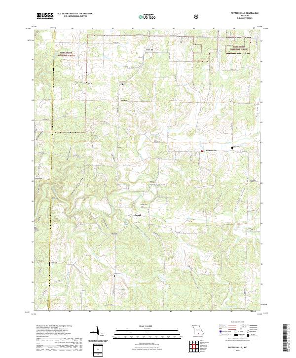
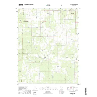
2021 Pottersville
Howell County, MO
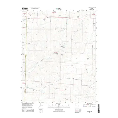
2021 Siloam Springs
Howell County, MO
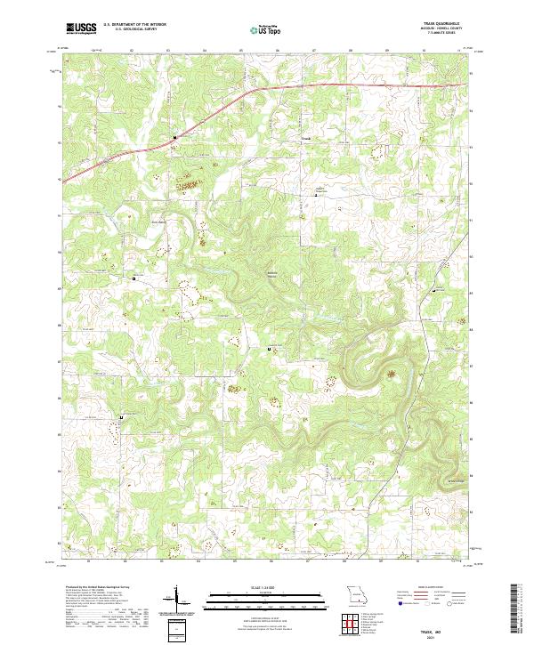
2021 Trask
Howell County, MO
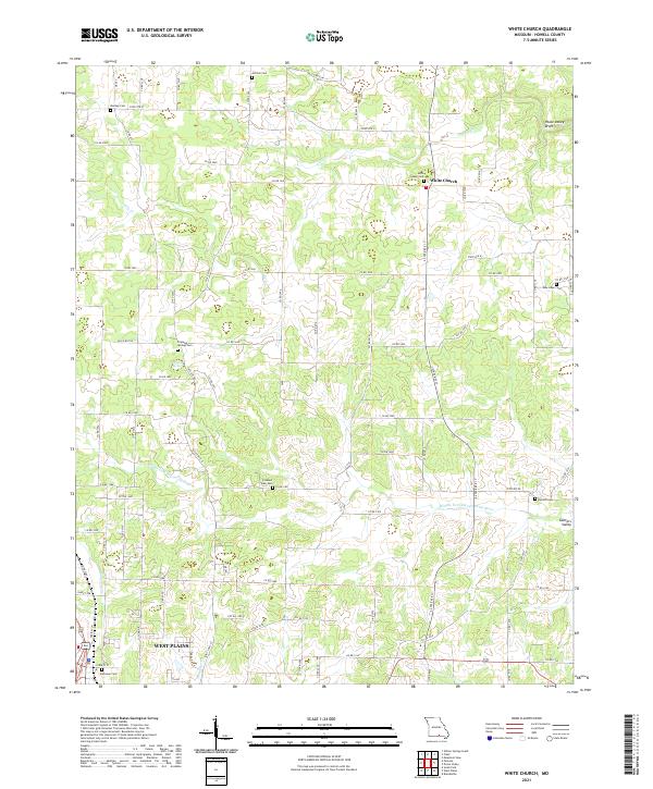
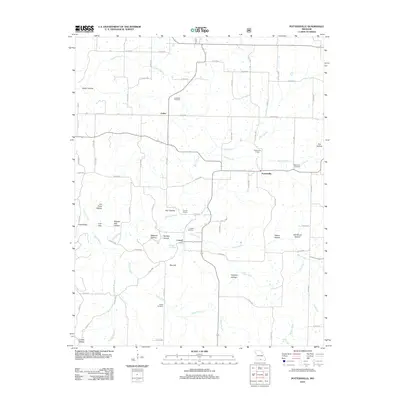
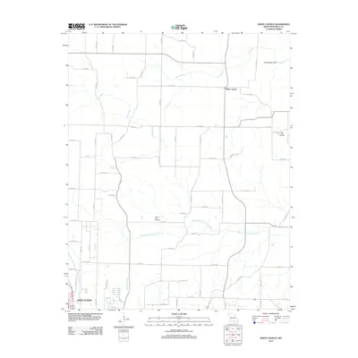
2021 White Church
Howell County, MO
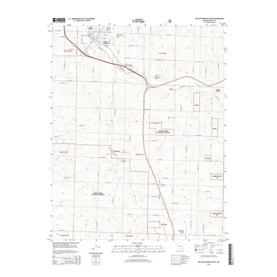
2021 Willow Springs South
Howell County, MO