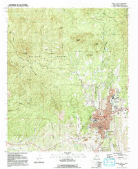
1992 Map of Silver City
USGS Topo · Published 1992About this map
Silver City sits at the foot of the Silver City Range in this early 1990s survey, showing the established layout of the county seat and its educational institutions. The campus of Western New Mexico University and local schools like Silver High Sch and La Plata Jr High anchor the northern and western sections of the town. Outside the residential blocks, the landscape is defined by its mining history and topographic extremes, with numerous prospects and open pit mines dotting the areas around Boston Hill and Chloride Flat. The map also captures the high-altitude wilderness of the Gila National Forest, where the Continental Divide winds through a series of summits including Bear Mountain and Stewart Peak. This transition from the urban grid to the undeveloped forest shows the proximity of industry, education, and recreation in this part of Grant County.
Find a feature on this map
41 named features on this map. Tap any name to fly to it.
Don’t see what you’re looking for? This feature index may not catch every label — zoom into the map to look around manually.
Map Details
Editions of this 1992 Silver City Map
2 editions found
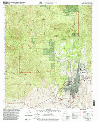
Other maps of this area

1909 · Silver City
USGS Topo · 1:125,000

1947 · Twin Sisters
USGS Topo · 1:24,000

1947 · Fort Bayard
USGS Topo · 1:24,000

1948 · Twin Sisters
USGS Topo · 1:24,000

1949 · Fort Bayard
USGS Topo · 1:24,000

1949 · Hurley West
USGS Topo · 1:24,000

1949 · Circle Mesa
USGS Topo · 1:24,000

1950 · Tyrone
USGS Topo · 1:24,000

1950 · Dorsey Ranch
USGS Topo · 1:24,000

1950 · Wind Mountain
USGS Topo · 1:24,000