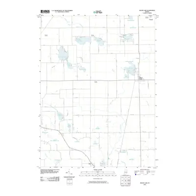
2010 Map of Silver Lake
USGS Topo · Published 2010About this map
The town of Silver Lake and the smaller settlement of Claypool anchor this pocket of northern Indiana, where a dense network of glacial lakes and managed waterways defines the terrain. Extensive drainage efforts are visible through numerous man-made channels like Michaels Ditch, Funk Ditch, and Lautzenhizer Ditch, which redirect water through the region's low-lying marshlands and prairies. This modification of the landscape is particularly evident around North Little Lake and South Little Lake, which frame the town center.
Find a feature on this map
58 named features on this map. Tap any name to fly to it.
Don’t see what you’re looking for? This feature index may not catch every label — zoom into the map to look around manually.
Map Details
Editions of this 2010 Silver Lake Map
This is the sole edition of this map. No revisions or reprints were ever made.
Other maps of this area

1953 · Fort Wayne
USGS Topo · 1:250,000

1953 · Chicago
USGS Topo · 1:250,000

1953 · Danville
USGS Topo · 1:250,000

1953 · Muncie
USGS Topo · 1:250,000

1955 · Danville
USGS Topo · 1:250,000

1956 · Muncie
USGS Topo · 1:250,000

1956 · Danville
USGS Topo · 1:250,000

1956 · Fort Wayne
USGS Topo · 1:250,000

1957 · Chicago
USGS Topo · 1:250,000

1957 · Warsaw
USGS Topo · 1:24,000