
1950 Map of Silver Peak
USGS Topo · Published 1977About this map
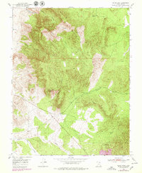
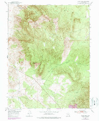
Silver Peak dominates the center of this Iron County landscape, where the high ridges of the Antelope Range meet a network of steep drainages. The topography here reflects a history of mineral interests, as evidenced by the presence of Bullion Canyon and Chloride Canyon in the northern reaches. These labels, paired with the massive southern anchor of Iron Mountain, speak to the region's long-standing connection to the mining industry during the mid-20th century. Surface water is sparse, restricted to specific points like Sand Spring and Joel Spring, which provided essential resources in an otherwise arid terrain. To the south, the landscape shifts toward the Red Hills and the broad course of The Dry Wash, illustrating the varied geological character of this corner of Utah.
Find a feature on this map
18 named features on this map. Tap any name to fly to it.
Don’t see what you’re looking for? This feature index may not catch every label — zoom into the map to look around manually.
Map Details
Editions of this 1950 Silver Peak Map
3 editions found
Other maps of this area

1885 · St. George
USGS Topo · 1:250,000

1891 · St. George
USGS Topo · 1:250,000

1950 · Antelope Peak
USGS Topo · 1:24,000

1950 · Iron Mountain
USGS Topo · 1:62,500

1950 · Stoddard Mtn
USGS Topo · 1:24,000

1950 · Desert Mound
USGS Topo · 1:24,000

1950 · Page Ranch
USGS Topo · 1:24,000

1950 · Avon SE
USGS Topo · 1:24,000

1951 · Avon SE
USGS Topo · 1:24,000

1951 · Silver Peak
USGS Topo · 1:24,000