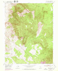
1950 Map of Silver Peak
USGS Topo · Published 1979About this map
Silver Peak dominates the high ground of the Antelope Range in this mid-century survey of southwestern Utah. The landscape is defined by its industrial potential and rugged drainages, with mining history suggested by names like Bullion Canyon and Chloride Canyon. To the south, the topography transitions toward the Red Hills and the northern edge of Iron Mountain, a region shaped by significant mineral deposits. Water sources are scarce but critical, evidenced by the scattered locations of Joel Spring, Sand Spring, and Hidden Spring. The drainage patterns of The Dry Wash and Pinto Creek illustrate the arid environment of Iron County as it was documented in 1950 and later updated through photorevision in the late 1970s.
Find a feature on this map
20 named features on this map. Tap any name to fly to it.
Don’t see what you’re looking for? This feature index may not catch every label — zoom into the map to look around manually.
Map Details
Editions of this 1950 Silver Peak Map
3 editions found
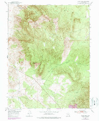
Other maps of this area

1885 · St. George
USGS Topo · 1:250,000

1891 · St. George
USGS Topo · 1:250,000

1950 · Antelope Peak
USGS Topo · 1:24,000

1950 · Iron Mountain
USGS Topo · 1:62,500

1950 · Stoddard Mtn
USGS Topo · 1:24,000

1950 · Silver Peak
USGS Topo · 1:24,000

1950 · Desert Mound
USGS Topo · 1:24,000

1950 · Page Ranch
USGS Topo · 1:24,000

1950 · Avon SE
USGS Topo · 1:24,000

1951 · Avon SE
USGS Topo · 1:24,000