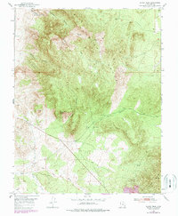
1950 Map of Silver Peak
USGS Topo · Published 1988About this map
The Antelope Range and the northern reaches of the Iron Mountains dominate this high-desert landscape in southwestern Utah. Rising to a high point at Silver Peak, the terrain is defined by a series of steep drainages including Silver Canyon and Bullion Canyon, names that hint at the mineral exploration history of the region. The map shows a transition from the elevated peaks of the Red Hills down toward the south, where The Dry Wash and Little Pinto Creek cut through the lower basins.
Find a feature on this map
17 named features on this map. Tap any name to fly to it.
Don’t see what you’re looking for? This feature index may not catch every label — zoom into the map to look around manually.
Map Details
Editions of this 1950 Silver Peak Map
3 editions found
Other maps of this area

1885 · St. George
USGS Topo · 1:250,000

1891 · St. George
USGS Topo · 1:250,000

1950 · Antelope Peak
USGS Topo · 1:24,000

1950 · Iron Mountain
USGS Topo · 1:62,500

1950 · Stoddard Mtn
USGS Topo · 1:24,000

1950 · Silver Peak
USGS Topo · 1:24,000

1950 · Desert Mound
USGS Topo · 1:24,000

1950 · Page Ranch
USGS Topo · 1:24,000

1950 · Avon SE
USGS Topo · 1:24,000

1951 · Avon SE
USGS Topo · 1:24,000