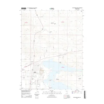
2014 Map of Silver Springs North
USGS Topo · Published 2014About this map
Silver Springs serves as the primary hub in this arid landscape, situated at the intersection of US Highway 50 W and other regional routes. The community's layout is well-defined, stretching toward the shores of the Lahontan Reservoir, which dominates the southern half of the sheet. This large water body creates a distinct recreational and residential corridor, including Virginia Beach and Silver Springs Beach, contrasting sharply with the desert terrain of the Dead Camel Mountains and the Fernley Hills.
Find a feature on this map
64 named features on this map. Tap any name to fly to it.
Don’t see what you’re looking for? This feature index may not catch every label — zoom into the map to look around manually.
Map Details
Editions of this 2014 Silver Springs North Map
This is the sole edition of this map. No revisions or reprints were ever made.
Other maps of this area

1890 · Wadsworth
USGS Topo · 1:125,000

1891 · Wabuska
USGS Topo · 1:125,000

1892 · Wadsworth
USGS Topo · 1:125,000

1894 · Wadsworth
USGS Topo · 1:125,000

1894 · Wabuska
USGS Topo · 1:125,000

1957 · Churchill Butte
USGS Topo · 1:62,500

1957 · Two Tips
USGS Topo · 1:62,500

1957 · Wadsworth
USGS Topo · 1:62,500

1957 · Silver Springs
USGS Topo · 1:62,500

1957 · Reno
USGS Topo · 1:250,000