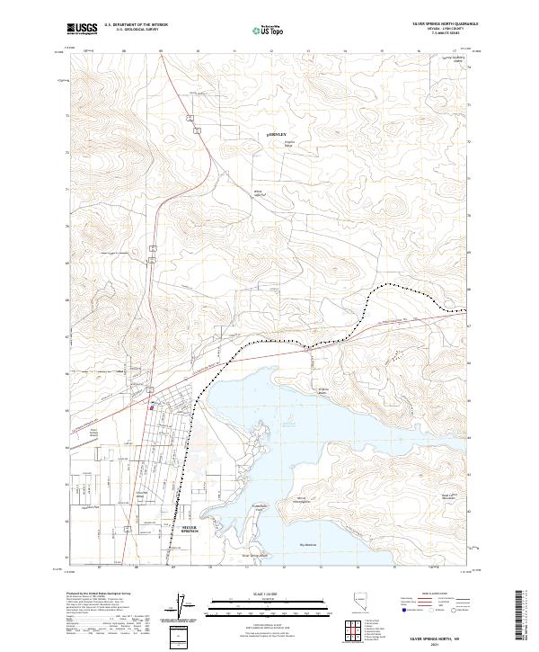
2021 Map of Silver Springs North
USGS Topo · Published 2021About this map
Silver Springs serves as the primary residential anchor in this high-desert basin, situated just west of the sprawling Lahontan Reservoir. The modern street grid of Churchill Valley and the Silver Springs Airport contrast with the historic landscape, most notably the path of the California Emigrant Trl which cuts across the terrain north of the reservoir. This route represents the enduring legacy of 19th-century westward migration through the Great Basin.
Find a feature on this map
47 named features on this map. Tap any name to fly to it.
Don’t see what you’re looking for? This feature index may not catch every label — zoom into the map to look around manually.
Map Details
Editions of this 2021 Silver Springs North Map
This is the sole edition of this map. No revisions or reprints were ever made.
Other maps of this area

1890 · Wadsworth
USGS Topo · 1:125,000

1891 · Wabuska
USGS Topo · 1:125,000

1892 · Wadsworth
USGS Topo · 1:125,000

1894 · Wadsworth
USGS Topo · 1:125,000

1894 · Wabuska
USGS Topo · 1:125,000

1957 · Churchill Butte
USGS Topo · 1:62,500

1957 · Two Tips
USGS Topo · 1:62,500

1957 · Wadsworth
USGS Topo · 1:62,500

1957 · Silver Springs
USGS Topo · 1:62,500

1957 · Reno
USGS Topo · 1:250,000