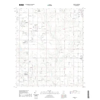
2020 Map of Silverhill
USGS Topo · Published 2020About this map
Yelling Settlement and the inland reaches of Fairhope and Daphne anchor this Baldwin County landscape, where the coastal terrace transitions into a network of creek basins. The Fish River serves as the central drainage artery, fed by numerous tributaries such as Beiser Br, Corn Br, and Pensacola Br. This drainage pattern historically influenced the placement of early homesteads and transport corridors throughout the region.
Find a feature on this map
108 named features on this map. Tap any name to fly to it.
Don’t see what you’re looking for? This feature index may not catch every label — zoom into the map to look around manually.
Map Details
Editions of this 2020 Silverhill Map
This is the sole edition of this map. No revisions or reprints were ever made.
Other maps of this area

1920 · Robertsdale
USGS Topo · 1:62,500

1921 · Bon Secour
USGS Topo · 1:62,500

1921 · Point Clear
USGS Topo · 1:62,500

1921 · Fairhope
USGS Topo · 1:62,500

1939 · Daphne
USGS Topo · 1:31,680

1940 · Silverhill
USGS Topo · 1:31,680

1941 · Daphne
USGS Topo · 1:31,680

1941 · Silverhill
USGS Topo · 1:31,680

1941 · Blakeley
USGS Topo · 1:31,680

1941 · Robertsdale
USGS Topo · 1:62,500