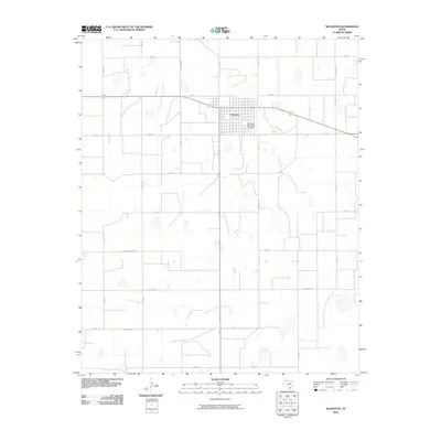
2010 Map of Silverton
USGS Topo · Published 2010About this map
Silverton serves as the focal point of this Briscoe County landscape, exhibiting a classic High Plains grid pattern typical of West Texas agricultural hubs. The town's layout is bordered to the east by the Silverton Municipal Airport, while the surrounding territory is defined by a dense network of ranch roads and county routes. The road system, including Ranch Rd 3030 and Ranch Rd 145, reveals a highly organized land partition where transportation corridors follow section lines. This 2010 survey highlights numerous small depressions and playas scattered across the terrain between Co Rd N and Co Rd E, illustrating the unique hydrology of the Panhandle where seasonal water collection points dictate local land use and ranching boundaries.
Find a feature on this map
15 named features on this map. Tap any name to fly to it.
Don’t see what you’re looking for? This feature index may not catch every label — zoom into the map to look around manually.
Map Details
Editions of this 2010 Silverton Map
This is the sole edition of this map. No revisions or reprints were ever made.
Other maps of this area

1954 · Plainview
USGS Topo · 1:250,000

1958 · Plainview
USGS Topo · 1:250,000

1960 · Indian Peak
USGS Topo · 1:62,500

1965 · Ross Canyon
USGS Topo · 1:24,000

1965 · Whiteley
USGS Topo · 1:24,000

1965 · Silverton
USGS Topo · 1:24,000

1965 · Rock Creek
USGS Topo · 1:24,000

1965 · Silverton SW
USGS Topo · 1:24,000

1965 · Cope Creek
USGS Topo · 1:24,000

1967 · Edgemon Lake
USGS Topo · 1:24,000