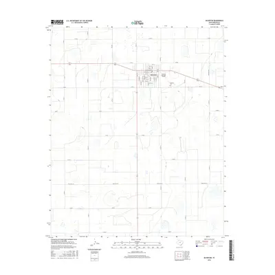
2016 Map of Silverton
USGS Topo · Published 2016About this map
Silverton serves as the focal point of this Briscoe County landscape, organized around a traditional grid of streets like Main St, Broadway, and W Lonestar St. The town's layout reflects its role as a regional hub, with the Silverton Municipal Airport and Silverton Cem positioned on the eastern outskirts. Outside the immediate town center, the terrain is defined by a systematic network of county roads, including Co Rd N and Co Rd F, alongside larger thoroughfares like Ranch Rd 145. The map illustrates a transition from the structured urban blocks of the settlement to the open, utilitarian spaces of the Texas Panhandle, where ranch roads provide the primary corridors through the surrounding plains.
Find a feature on this map
36 named features on this map. Tap any name to fly to it.
Don’t see what you’re looking for? This feature index may not catch every label — zoom into the map to look around manually.
Map Details
Editions of this 2016 Silverton Map
This is the sole edition of this map. No revisions or reprints were ever made.
Other maps of this area

1954 · Plainview
USGS Topo · 1:250,000

1958 · Plainview
USGS Topo · 1:250,000

1960 · Indian Peak
USGS Topo · 1:62,500

1965 · Ross Canyon
USGS Topo · 1:24,000

1965 · Whiteley
USGS Topo · 1:24,000

1965 · Silverton
USGS Topo · 1:24,000

1965 · Rock Creek
USGS Topo · 1:24,000

1965 · Silverton SW
USGS Topo · 1:24,000

1965 · Cope Creek
USGS Topo · 1:24,000

1967 · Edgemon Lake
USGS Topo · 1:24,000