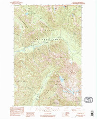
1989 Map of Silverton
USGS Topo · Published 1995About this map
The Silverton settlement sits along the South Fork Stillaguamish River, serving as a central point in a landscape defined by high-elevation mining and timber exploration. By the late 1980s, the region was characterized by the convergence of the Boulder River Wilderness, Mt Baker National Forest, and Snoqualmie National Forest. Industrial history is etched into the steep slopes of Silver Gulch and Marble Gulch, where several named extraction sites like the St Louis Mine, Bonanza Queen Mine, and Sperry-Iverson Mine are located.
Find a feature on this map
46 named features on this map. Tap any name to fly to it.
Don’t see what you’re looking for? This feature index may not catch every label — zoom into the map to look around manually.
Map Details
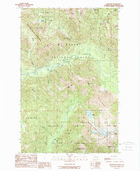
Editions of this 1989 Silverton Map
2 editions found
Other maps of this area

1899 · Glacier Peak
USGS Topo · 1:125,000

1899 · Stillaguamish
USGS Topo · 1:125,000

1901 · Glacier Peak
USGS Topo · 1:125,000

1901 · Stilaguamish
USGS Topo · 1:125,000

1902 · Skykomish
USGS Topo · 1:125,000

1905 · Skykomish
USGS Topo · 1:125,000

1921 · Sultan
USGS Topo · 1:125,000

1923 · Sultan
USGS Topo · 1:125,000

1955 · Concrete
USGS Topo · 1:250,000

1957 · Silverton
USGS Topo · 1:62,500