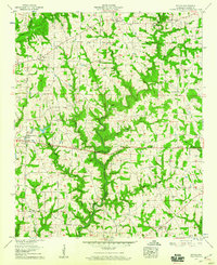
1958 Map of Simcoe
USGS Topo · Published 1960About this map
Simcoe and the surrounding rural communities of eastern Cullman County are documented here as they appeared in the late 1950s. This agricultural landscape is defined by the winding course of the Duck River and its numerous tributaries, such as Brindley Creek and Mile Creek. The area’s social fabric is anchored by its many country churches, including Antioch Ch, Center Point Ch, and Shady Grove Ch, often situated at key crossroads like Walkers Corner.
Find a feature on this map
42 named features on this map. Tap any name to fly to it.
Don’t see what you’re looking for? This feature index may not catch every label — zoom into the map to look around manually.
Map Details
Editions of this 1958 Simcoe Map
3 editions found
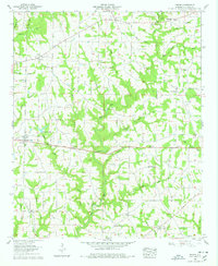
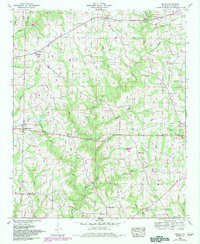
Other maps of this area

1888 · Cullman
USGS Topo · 1:125,000

1892 · Cullman
USGS Topo · 1:125,000

1936 · Hulaco
USGS Topo · 1:24,000

1936 · Eva
USGS Topo · 1:24,000

1936 · Lawrence Cove
USGS Topo · 1:24,000

1936 · Holly Pond
USGS Topo · 1:24,000
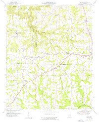
1949 · Hulaco
USGS Topo · 1:24,000
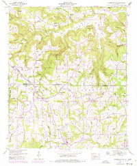
1949 · Lawrence Cove
USGS Topo · 1:24,000
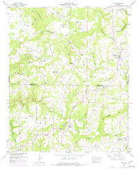
1949 · Eva
USGS Topo · 1:24,000
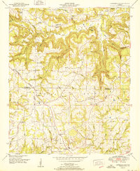
1951 · Lawrence Cove
USGS Topo · 1:24,000